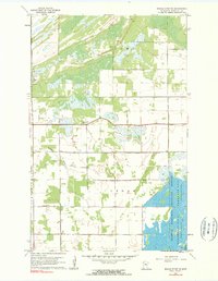
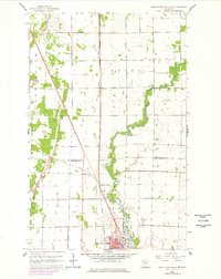
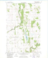
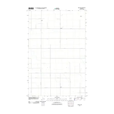
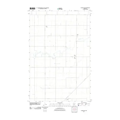
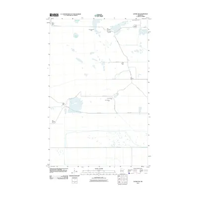
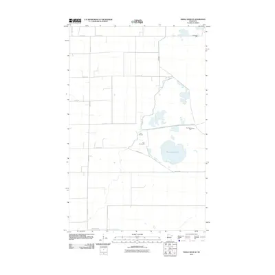
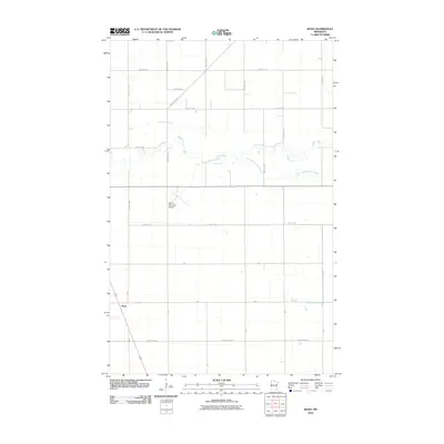
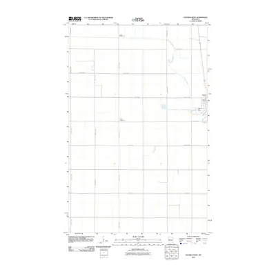
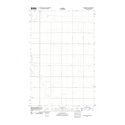
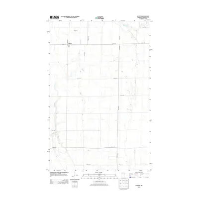
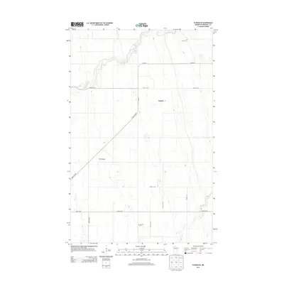
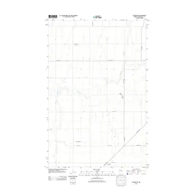
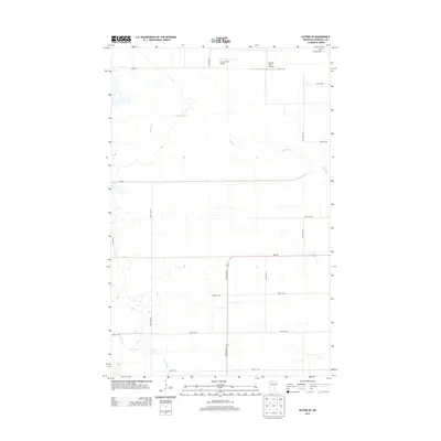
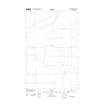
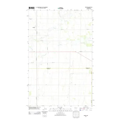
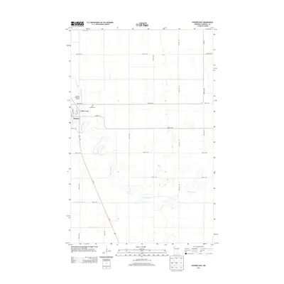
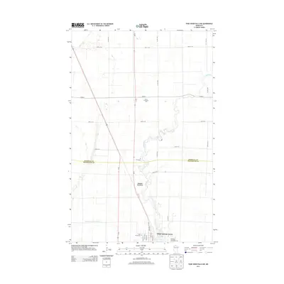
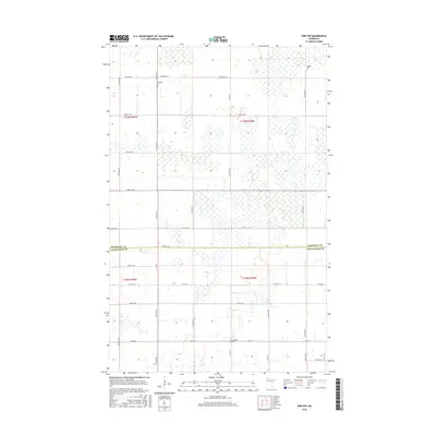
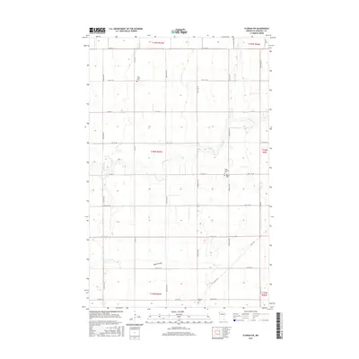
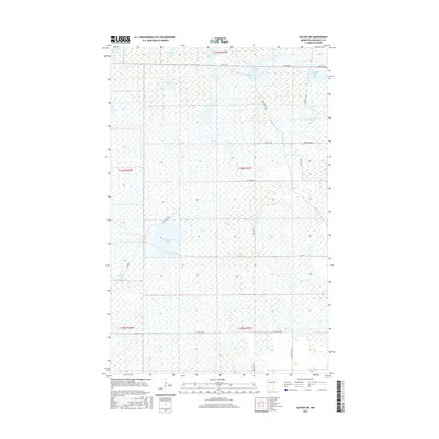
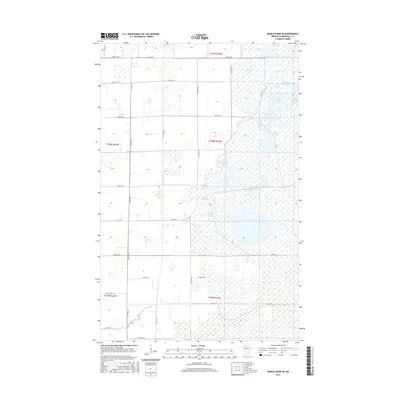
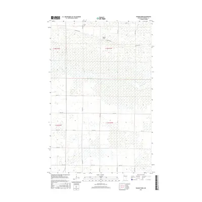
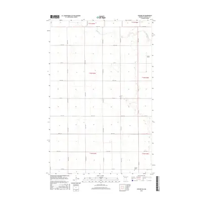
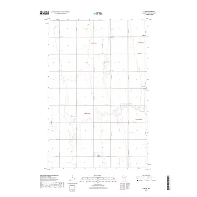
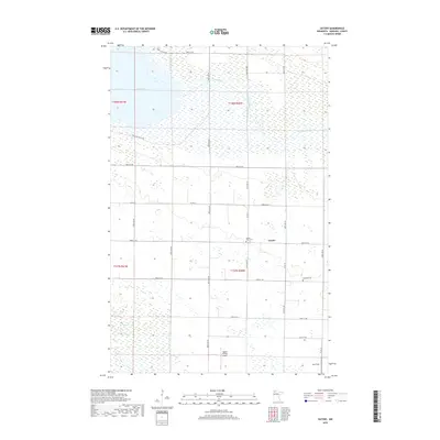
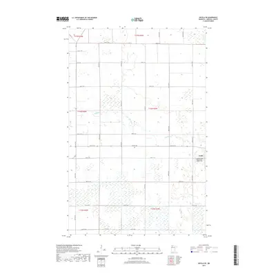
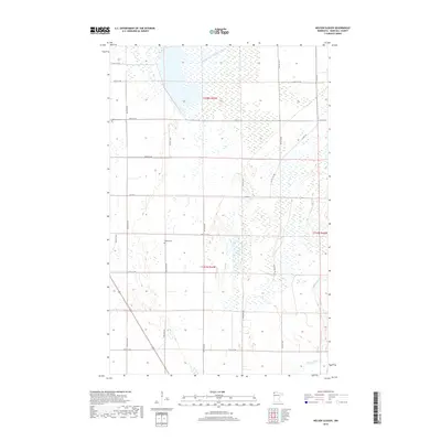
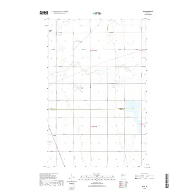
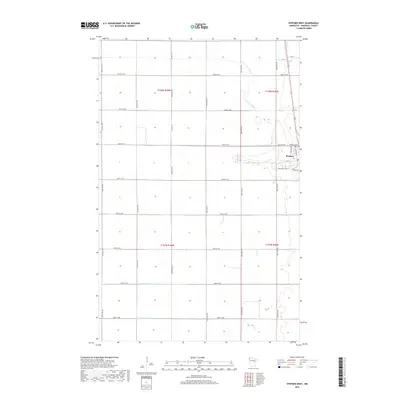
1973 Map of Randeen Ridge
USGS Topo · Published 1976About this map
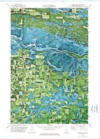
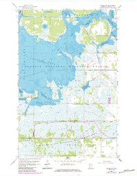
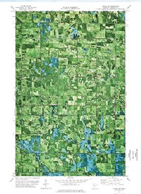
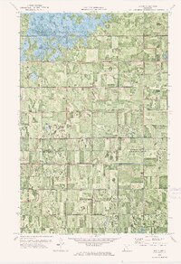
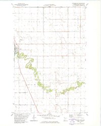
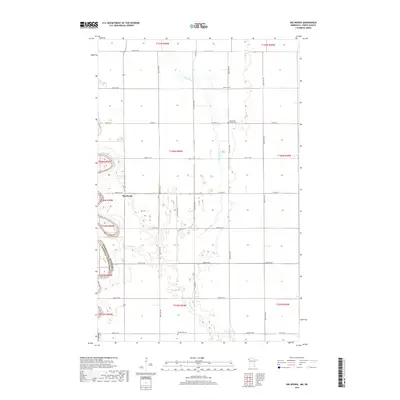
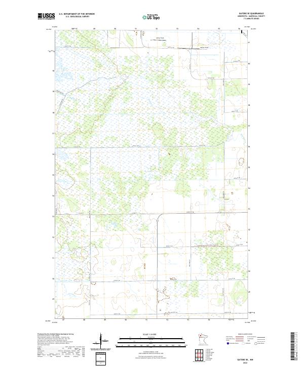
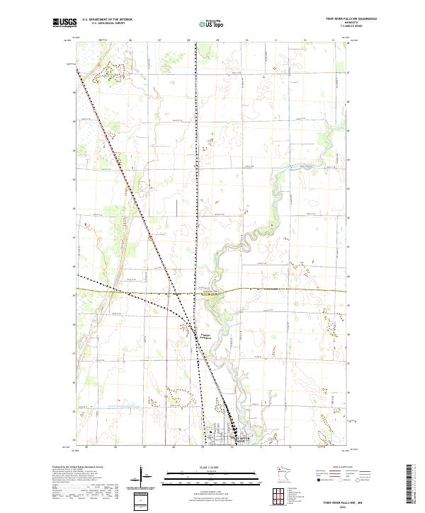
Randeen Ridge stands as a prominent elevation within the marshy lowlands of northern Marshall County, anchoring a landscape defined by the expansive Thief Lake Wildlife Management Area. This 1973 orthophotomap provides a clear view of the transitional zone between organized agriculture and the protected wetlands of the north. The winding course of the Moose River bisects the terrain, accompanied by a network of seasonal routes including the Winter Trail. In the southern half of the sheet, the townships of Veldt and Rollis show a distinct patchwork of cultivated fields and woodlots, punctuated by several Gravel Pits. The map's photographic base reveals the precise boundaries between reclaimed farmland and the natural scrub of the Wildlife Area, offering researchers an exact record of land use and drainage patterns in this remote pocket of the Red River Valley region.
Find a feature on this map
13 named features on this map. Tap any name to fly to it.
Don’t see what you’re looking for? This feature index may not catch every label — zoom into the map to look around manually.
Map Details
Editions of this 1973 Randeen Ridge Map
This is the sole edition of this map. No revisions or reprints were ever made.
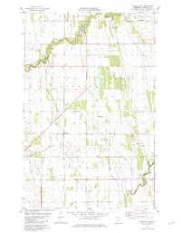
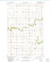
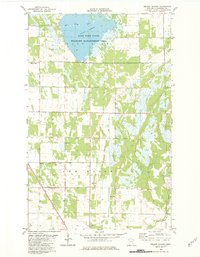
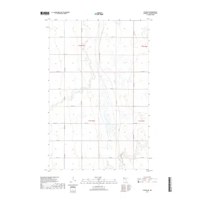
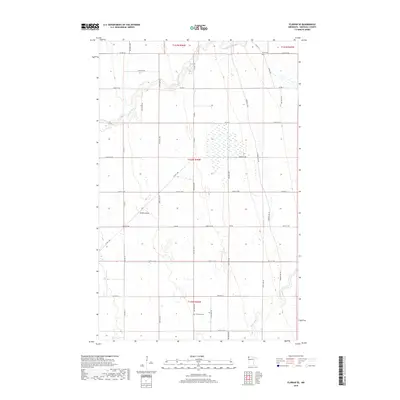
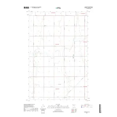
Historical Maps of Marshall County Through Time
166 maps found

1918 Rollis
Marshall County, MN
1919 Liner
Marshall County, MN

1943 Rollis
Marshall County, MN
1956 Florian
Marshall County, MN
1959 Rosewood
Marshall County, MN
1961 Middle River NE
Marshall County, MN
1961 Middle River SE
Marshall County, MN

1961 Radium
Marshall County, MN
1961 Roan
Marshall County, MN
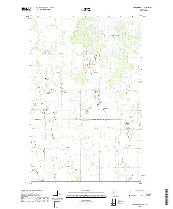
1961 Thief River Falls NE
Marshall County, MN
1961 Thief River Falls NW
Marshall County, MN
1962 Gatzke
Marshall County, MN
1962 Gatzke NW
Marshall County, MN
1962 Gatzke SE
Marshall County, MN
1962 Gatzke SW
Marshall County, MN
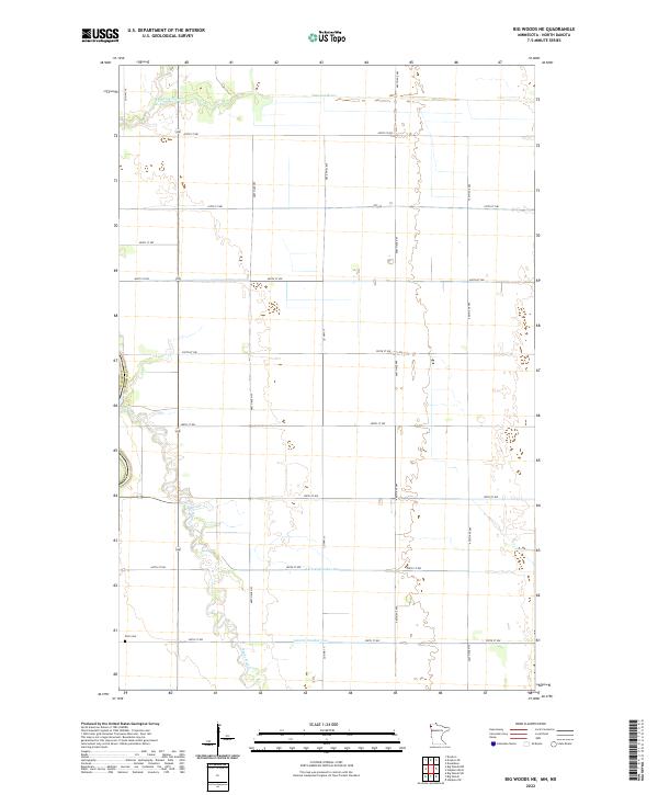
1966 Big Woods
Marshall County, MN
1966 Big Woods NE
Marshall County, MN

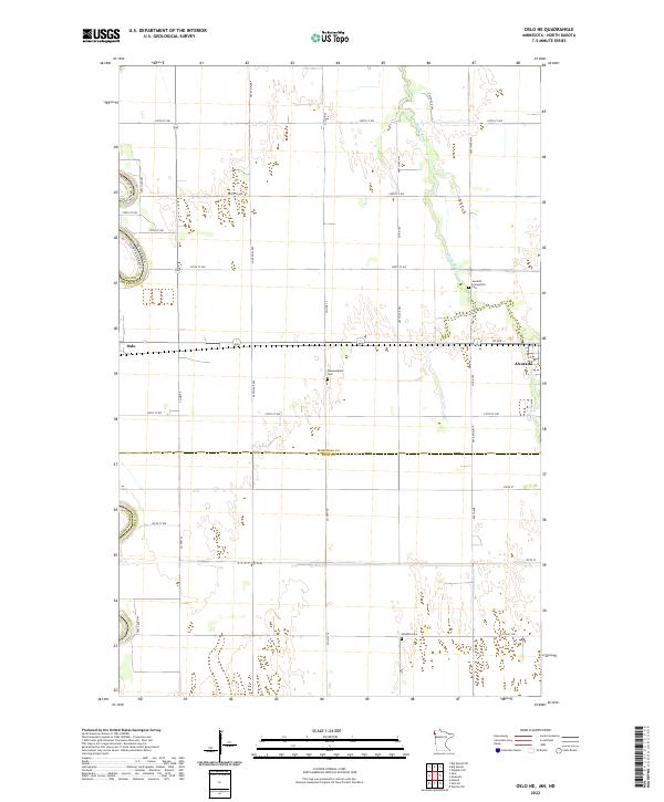
1966 Oslo NE
Marshall County, MN
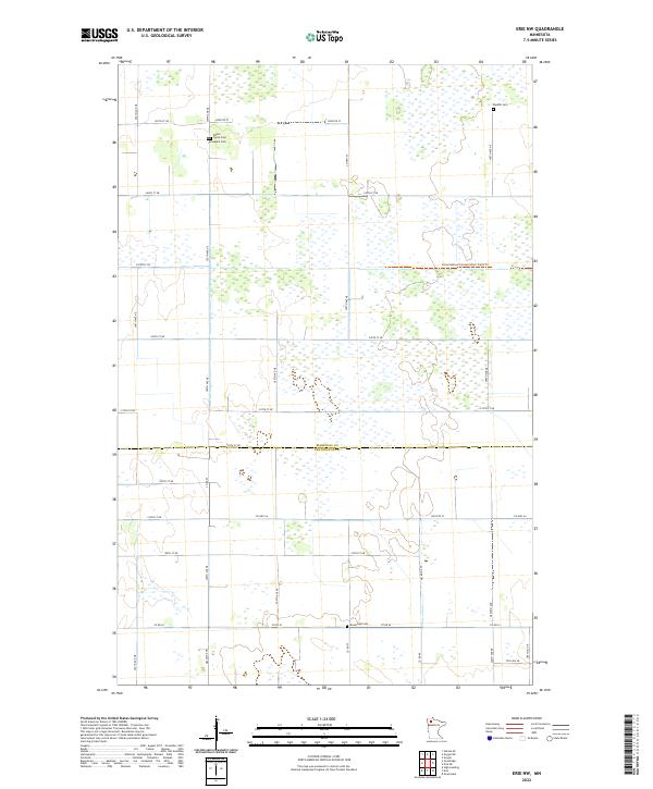
1973 Erie NW
Marshall County, MN
1973 Grygla SW
Marshall County, MN
1973 Mavie
Marshall County, MN
1973 Randeen Ridge
Marshall County, MN
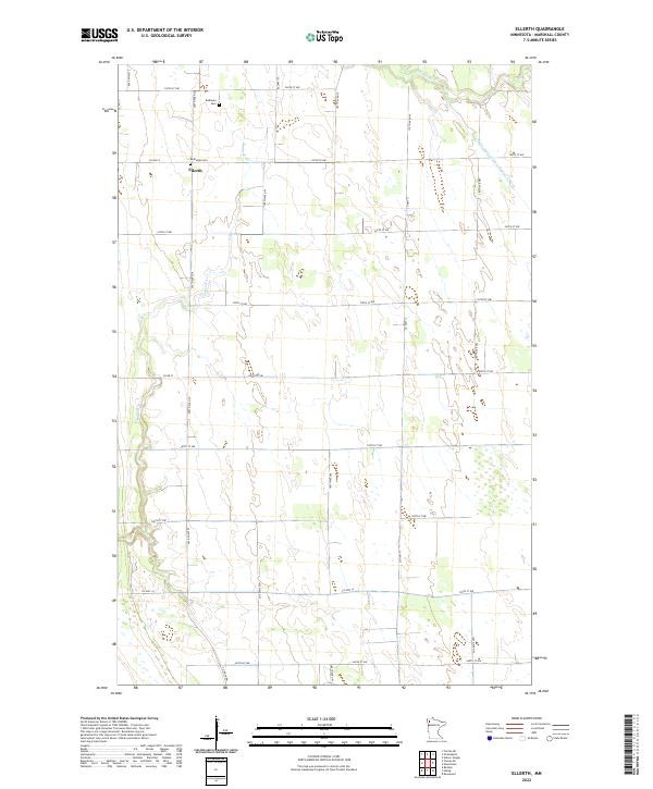
1982 Ellerth
Marshall County, MN
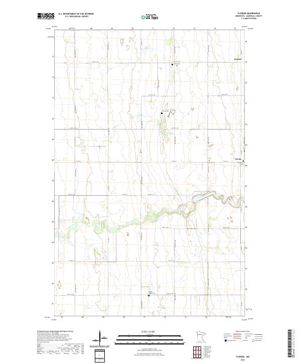
1982 Florian
Marshall County, MN
1982 Florian NE
Marshall County, MN
1982 Florian SE
Marshall County, MN
1982 Florian SW
Marshall County, MN
1982 Nelson Slough
Marshall County, MN
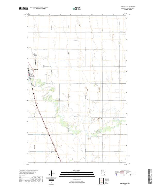
1982 Stephen East
Marshall County, MN
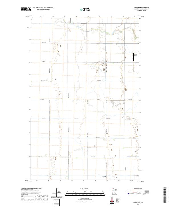
1982 Stephen SW
Marshall County, MN
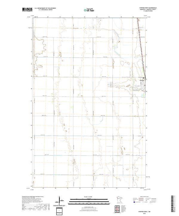
1982 Stephen West
Marshall County, MN
2010 Ellerth
Marshall County, MN
2010 Erie NW
Marshall County, MN
2010 Florian
Marshall County, MN
2010 Florian NE
Marshall County, MN
2010 Florian SE
Marshall County, MN
2010 Florian SW
Marshall County, MN
2010 Gatzke
Marshall County, MN
2010 Gatzke NW
Marshall County, MN
2010 Gatzke SE
Marshall County, MN
2010 Gatzke SW
Marshall County, MN
2010 Grygla SW
Marshall County, MN
2010 Mavie
Marshall County, MN
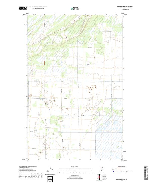
2010 Middle River NE
Marshall County, MN
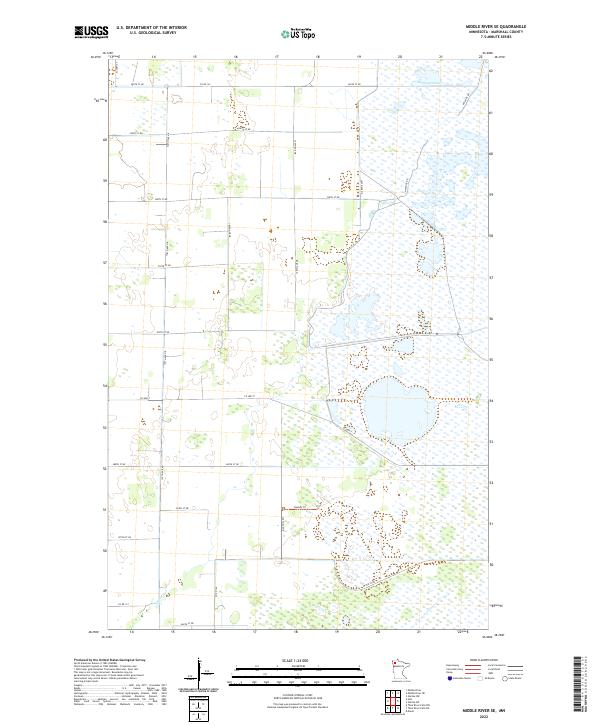
2010 Middle River SE
Marshall County, MN
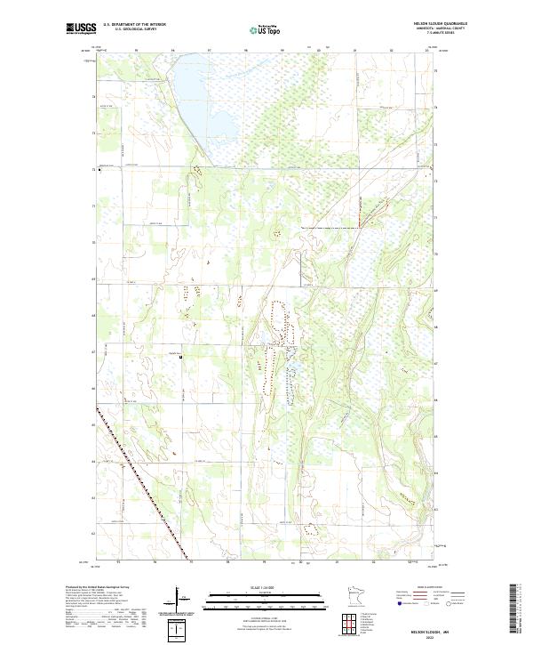
2010 Nelson Slough
Marshall County, MN
2010 Radium
Marshall County, MN
2010 Randen Ridge
Marshall County, MN
2010 Roan
Marshall County, MN
2010 Rosewood
Marshall County, MN
2010 Stephen East
Marshall County, MN
2010 Stephen SW
Marshall County, MN
2010 Stephen West
Marshall County, MN
2010 Thief River Falls NE
Marshall County, MN
2010 Thief River Falls NW
Marshall County, MN
2011 Big Woods
Marshall County, MN
2011 Big Woods NE
Marshall County, MN
2011 Oslo NE
Marshall County, MN
2013 Big Woods
Marshall County, MN
2013 Big Woods NE
Marshall County, MN
2013 Ellerth
Marshall County, MN
2013 Erie NW
Marshall County, MN
2013 Florian
Marshall County, MN
2013 Florian NE
Marshall County, MN
2013 Florian SE
Marshall County, MN
2013 Florian SW
Marshall County, MN
2013 Gatzke
Marshall County, MN
2013 Gatzke NW
Marshall County, MN
2013 Gatzke SE
Marshall County, MN
2013 Gatzke SW
Marshall County, MN
2013 Grygla SW
Marshall County, MN
2013 Mavie
Marshall County, MN
2013 Middle River NE
Marshall County, MN
2013 Middle River SE
Marshall County, MN
2013 Nelson Slough
Marshall County, MN
2013 Oslo NE
Marshall County, MN
2013 Radium
Marshall County, MN
2013 Randen Ridge
Marshall County, MN
2013 Roan
Marshall County, MN
2013 Rosewood
Marshall County, MN
2013 Stephen East
Marshall County, MN
2013 Stephen SW
Marshall County, MN
2013 Stephen West
Marshall County, MN
2013 Thief River Falls NE
Marshall County, MN
2013 Thief River Falls NW
Marshall County, MN
2016 Big Woods
Marshall County, MN
2016 Big Woods NE
Marshall County, MN
2016 Ellerth
Marshall County, MN
2016 Erie NW
Marshall County, MN
2016 Florian
Marshall County, MN
2016 Florian NE
Marshall County, MN
2016 Florian SE
Marshall County, MN
2016 Florian SW
Marshall County, MN
2016 Gatzke
Marshall County, MN
2016 Gatzke NW
Marshall County, MN
2016 Gatzke SE
Marshall County, MN
2016 Gatzke SW
Marshall County, MN
2016 Grygla SW
Marshall County, MN
2016 Mavie
Marshall County, MN
2016 Middle River NE
Marshall County, MN
2016 Middle River SE
Marshall County, MN
2016 Nelson Slough
Marshall County, MN
2016 Oslo NE
Marshall County, MN
2016 Radium
Marshall County, MN
2016 Randen Ridge
Marshall County, MN
2016 Roan
Marshall County, MN
2016 Rosewood
Marshall County, MN
2016 Stephen East
Marshall County, MN
2016 Stephen SW
Marshall County, MN
2016 Stephen West
Marshall County, MN
2016 Thief River Falls NE
Marshall County, MN
2016 Thief River Falls NW
Marshall County, MN
2019 Big Woods
Marshall County, MN
2019 Big Woods NE
Marshall County, MN
2019 Ellerth
Marshall County, MN
2019 Erie NW
Marshall County, MN
2019 Florian
Marshall County, MN
2019 Florian NE
Marshall County, MN
2019 Florian SE
Marshall County, MN
2019 Florian SW
Marshall County, MN
2019 Gatzke
Marshall County, MN
2019 Gatzke NW
Marshall County, MN
2019 Gatzke SE
Marshall County, MN
2019 Gatzke SW
Marshall County, MN
2019 Grygla SW
Marshall County, MN
2019 Mavie
Marshall County, MN
2019 Middle River NE
Marshall County, MN
2019 Middle River SE
Marshall County, MN
2019 Nelson Slough
Marshall County, MN
2019 Oslo NE
Marshall County, MN
2019 Radium
Marshall County, MN
2019 Randen Ridge
Marshall County, MN
2019 Roan
Marshall County, MN
2019 Rosewood
Marshall County, MN
2019 Stephen East
Marshall County, MN
2019 Stephen SW
Marshall County, MN
2019 Stephen West
Marshall County, MN
2019 Thief River Falls NE
Marshall County, MN
2019 Thief River Falls NW
Marshall County, MN
2022 Big Woods
Marshall County, MN
2022 Big Woods NE
Marshall County, MN
2022 Ellerth
Marshall County, MN
2022 Erie NW
Marshall County, MN
2022 Florian
Marshall County, MN
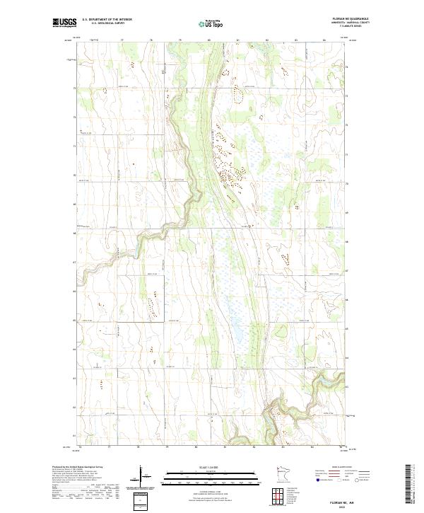
2022 Florian NE
Marshall County, MN
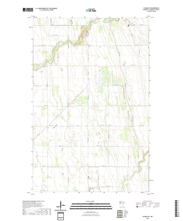
2022 Florian SE
Marshall County, MN

2022 Florian SW
Marshall County, MN
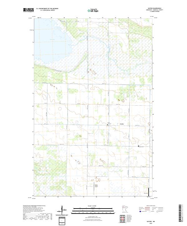
2022 Gatzke
Marshall County, MN
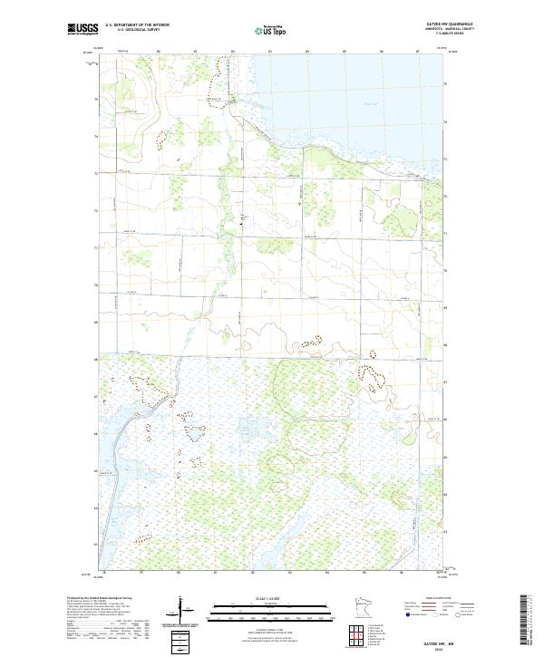
2022 Gatzke NW
Marshall County, MN
2022 Gatzke SE
Marshall County, MN
2022 Gatzke SW
Marshall County, MN
2022 Grygla SW
Marshall County, MN
2022 Mavie
Marshall County, MN
2022 Middle River NE
Marshall County, MN
2022 Middle River SE
Marshall County, MN
2022 Nelson Slough
Marshall County, MN
2022 Oslo NE
Marshall County, MN
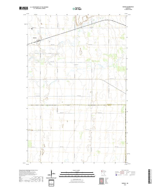
2022 Radium
Marshall County, MN
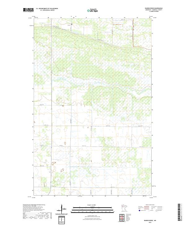
2022 Randen Ridge
Marshall County, MN
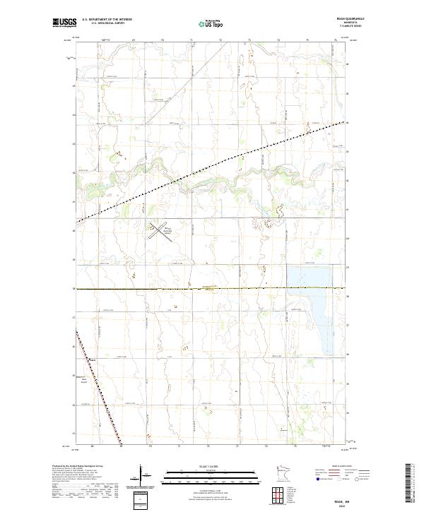
2022 Roan
Marshall County, MN
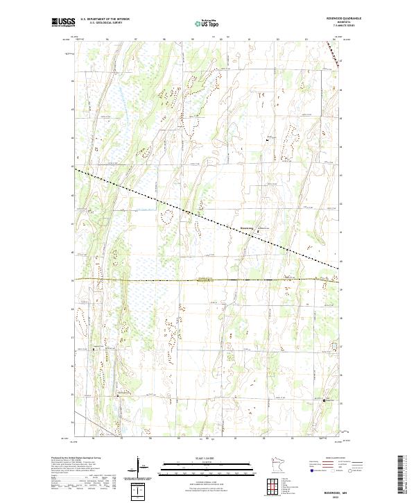
2022 Rosewood
Marshall County, MN
2022 Stephen East
Marshall County, MN
2022 Stephen SW
Marshall County, MN
2022 Stephen West
Marshall County, MN
2022 Thief River Falls NE
Marshall County, MN
2022 Thief River Falls NW
Marshall County, MN