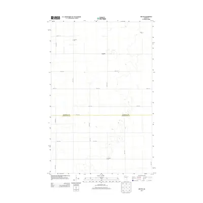
2013 Map of Erie NW
USGS Topo · Published 2013About this map
Espelie serves as the central community in this rural pocket of Northern Minnesota, where the landscape is defined by the jurisdictional border of Marshall Co and Pennington Co. The map records a quiet agricultural region structured by a precise grid of rural routes such as 350th Ave NE and 230th St NE. Genealogical interest is anchored by several local burial sites, including Espelle Cem, Jerusalem Cem, and Rosindhall Cem, which are scattered across the township lines. These small landmarks, along with the sparse residential footprints, reflect a traditional Midwestern settlement pattern where small community centers and family-named cemeteries provided the primary social infrastructure for a widely dispersed population.
Find a feature on this map
17 named features on this map. Tap any name to fly to it.
Don’t see what you’re looking for? This feature index may not catch every label — zoom into the map to look around manually.
Map Details
Editions of this 2013 Erie NW Map
This is the sole edition of this map. No revisions or reprints were ever made.
Other maps of this area
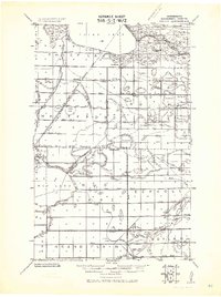
1918 · Rollis
USGS Topo · 1:62,500
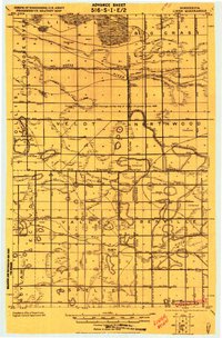
1919 · Liner
USGS Topo · 1:62,500
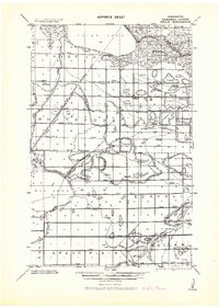
1943 · Rollis
USGS Topo · 1:62,500

1954 · Roseau
USGS Topo · 1:250,000

1957 · Roseau
USGS Topo · 1:250,000

1958 · Roseau
USGS Topo · 1:250,000
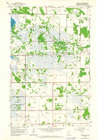
1962 · Gatzke SE
USGS Topo · 1:24,000
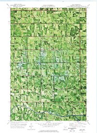
1972 · Erie
USGS Topo · 1:24,000
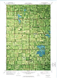
1972 · Goodridge
USGS Topo · 1:24,000
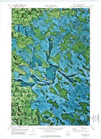
1972 · Good Lake
USGS Topo · 1:24,000