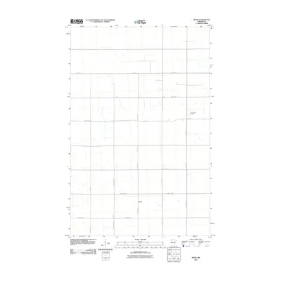
2010 Map of Mavie
USGS Topo · Published 2010About this map
Mavie serves as the central focal point for this rural Pennington County landscape, where a sparse grid of section-line roads and local thoroughfares connects isolated farmsteads. The settlement pattern is defined by the intersection of County Hwy-22 and County Hwy-64, illustrating the enduring reliance on a strictly organized agricultural layout common to the northern plains. To the northeast, the Germantown Cemetery sits along 220th St NE, providing a key landmark for genealogical research and reflecting the heritage of the local community. The terrain is marked by subtle drainage patterns and a web of county highways, including County Hwy-52 and County Hwy-2, which facilitate movement across this open prairie environment.
Find a feature on this map
17 named features on this map. Tap any name to fly to it.
Don’t see what you’re looking for? This feature index may not catch every label — zoom into the map to look around manually.
Map Details
Editions of this 2010 Mavie Map
This is the sole edition of this map. No revisions or reprints were ever made.
Other maps of this area

1918 · Rollis
USGS Topo · 1:62,500

1918 · Middle River
USGS Topo · 1:62,500

1943 · Rollis
USGS Topo · 1:62,500

1943 · Thief River Falls
USGS Topo · 1:62,500

1952 · Thief River Falls
USGS Topo · 1:250,000

1954 · Roseau
USGS Topo · 1:250,000

1956 · Thief River Falls
USGS Topo · 1:250,000

1957 · Roseau
USGS Topo · 1:250,000

1957 · Thief River Falls
USGS Topo · 1:250,000

1958 · Roseau
USGS Topo · 1:250,000