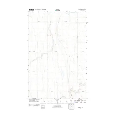
2013 Map of Florian NE
USGS Topo · Published 2013About this map
The Tamarac River meanders through this agricultural section of Marshall County, defining a landscape of low-lying terrain and managed water drainage. This corner of northwest Minnesota is primarily organized by a rigid grid of rural roads, including 390th St NW and 250th Ave NW, reflecting the systematic land divisions of the Red River Valley region.
Find a feature on this map
11 named features on this map. Tap any name to fly to it.
Don’t see what you’re looking for? This feature index may not catch every label — zoom into the map to look around manually.
Map Details
Editions of this 2013 Florian NE Map
This is the sole edition of this map. No revisions or reprints were ever made.
Other maps of this area

1919 · Pelan
USGS Topo · 1:62,500

1952 · Thief River Falls
USGS Topo · 1:250,000

1956 · Thief River Falls
USGS Topo · 1:250,000

1956 · Karlstad
USGS Topo · 1:62,500

1956 · Florian
USGS Topo · 1:62,500

1957 · Thief River Falls
USGS Topo · 1:250,000

1957 · Newfolden
USGS Topo · 1:62,500

1957 · Pelan
USGS Topo · 1:62,500

1967 · Thief River Falls
USGS Topo · 1:250,000
1982 · Florian SE
USGS Topo · 1:24,000