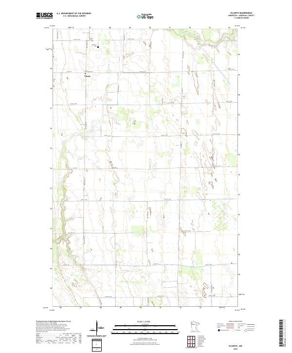
2022 Map of Ellerth
USGS Topo · Published 2022About this map
Ellerth and the surrounding agricultural lands of Marshall County are defined by the intricate drainage systems of the Red River Valley. The meandering paths of the Snake River and Middle River cross the landscape, which is further managed by man-made channels such as Main Judicial Ditch Number Fifteen. This modern survey reveals a highly organized township-and-range grid, where local roads like Co Hwy 4 and 340th St NW provide access to the vast fields. For those researching local heritage, the map identifies key community sites including Bethania Cem and Bethesda Cem, which stand as landmarks of the area's social history. The sparse settlement pattern reflects the modern era of large-scale farming, where the original rail-side village has transitioned into a quiet crossroads within a productive prairie landscape.
Find a feature on this map
26 named features on this map. Tap any name to fly to it.
Don’t see what you’re looking for? This feature index may not catch every label — zoom into the map to look around manually.
Map Details
Editions of this 2022 Ellerth Map
This is the sole edition of this map. No revisions or reprints were ever made.
Other maps of this area

1918 · Angus
USGS Topo · 1:62,500

1918 · Viking
USGS Topo · 1:62,500

1952 · Thief River Falls
USGS Topo · 1:250,000

1956 · Thief River Falls
USGS Topo · 1:250,000

1956 · Florian
USGS Topo · 1:62,500

1957 · Thief River Falls
USGS Topo · 1:250,000

1957 · Newfolden
USGS Topo · 1:62,500

1959 · Viking
USGS Topo · 1:24,000

1959 · Rosewood
USGS Topo · 1:24,000

1961 · Radium
USGS Topo · 1:24,000