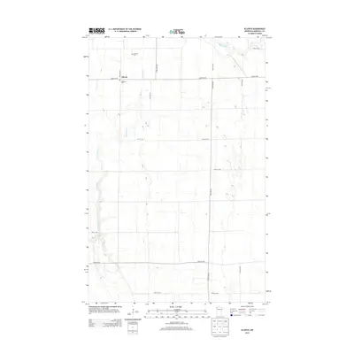
2013 Map of Ellerth
USGS Topo · Published 2013About this map
Ellerth serves as the quiet focal point of this rural Marshall County landscape, where the agricultural grid is defined by a series of numbered avenues and streets. The terrain is characterized by the meandering paths of the Snake River in the west and the Middle River in the northeast, reflecting the natural drainage patterns of this northern Minnesota region. Human intervention in the landscape is evident through the Main Judicial Ditch Number Fifteen, a significant water management feature designed to support the area's farming economy. For those researching local heritage, the map identifies two key sites: Bethania Cem and Bethesda Cem, both located near the settlement of Ellerth. These features, along with the precise layout of section lines and gravel roads, document the established community structure of this prairie environment as it appeared in the early 21st century.
Find a feature on this map
17 named features on this map. Tap any name to fly to it.
Don’t see what you’re looking for? This feature index may not catch every label — zoom into the map to look around manually.
Map Details
Editions of this 2013 Ellerth Map
This is the sole edition of this map. No revisions or reprints were ever made.
Other maps of this area

1918 · Angus
USGS Topo · 1:62,500

1918 · Viking
USGS Topo · 1:62,500

1952 · Thief River Falls
USGS Topo · 1:250,000

1956 · Thief River Falls
USGS Topo · 1:250,000

1956 · Florian
USGS Topo · 1:62,500

1957 · Thief River Falls
USGS Topo · 1:250,000

1957 · Newfolden
USGS Topo · 1:62,500

1959 · Viking
USGS Topo · 1:24,000

1959 · Rosewood
USGS Topo · 1:24,000

1961 · Radium
USGS Topo · 1:24,000