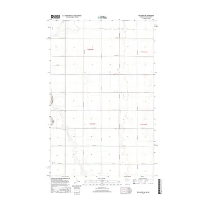
2016 Map of Big Woods NE
USGS Topo · Published 2016About this map
The North Dakota-Minnesota border defines the western edge of this landscape, where the flat plains are etched by the meandering courses of the Tamarac River and Snake River. This 2016 survey highlights a highly organized agricultural grid, reinforced by a network of drainage systems like Lateral Number One and Lateral Number Two. These man-made channels illustrate the intensive water management required to maintain the productivity of the Red River Valley’s fertile soil. Near the intersection of the river and the road grid sits the Fork Cemetery, a significant landmark for those researching family history in this borderland. The area is also characterized by its proximity to the Marshall County line, with transit facilitated by routes such as County Highway 16 and County Highway 17.
Find a feature on this map
26 named features on this map. Tap any name to fly to it.
Don’t see what you’re looking for? This feature index may not catch every label — zoom into the map to look around manually.
Map Details
Editions of this 2016 Big Woods NE Map
This is the sole edition of this map. No revisions or reprints were ever made.
Other maps of this area
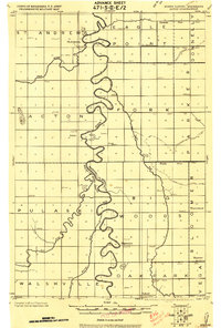
1918 · Acton
USGS Topo · 1:62,500
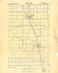
1918 · Argyle
USGS Topo · 1:62,500
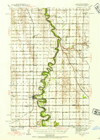
1939 · Drayton
USGS Topo · 1:62,500
1939 · Kennedy
USGS Topo · 1:62,500
1941 · Kennedy
USGS Topo · 1:62,500
1941 · Drayton
USGS Topo · 1:62,500

1952 · Thief River Falls
USGS Topo · 1:250,000
1954 · Stephen
USGS Topo · 1:62,500

1956 · Thief River Falls
USGS Topo · 1:250,000

1957 · Thief River Falls
USGS Topo · 1:250,000