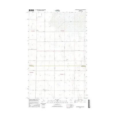
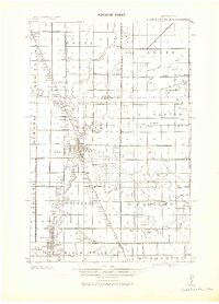
2016 Map of Thief River Falls NE
USGS Topo · Published 2016About this map
The Thief River flows through the northwestern corner of this landscape, marking a terrain defined by extensive wetlands and a rigid section-line road network. This 2016 survey documents the rural character of the border between Marshall Co and Pennington Co. The distribution of family and community heritage is evident in the scattered burial grounds that anchor the local geography, including Satersdal Cem in the north and the clustered Silver Creek Cem and Silverton Cem to the south. These sites, along with Bethlehem Cem, suggest the historical locations of early parish centers in this agricultural region. The landscape is primarily organized by county roads such as Co Hwy 2 and Co Hwy 12, which intersect the low-lying, marshy ground that characterizes much of the township geography.
Find a feature on this map
32 named features on this map. Tap any name to fly to it.
Don’t see what you’re looking for? This feature index may not catch every label — zoom into the map to look around manually.
Map Details
Editions of this 2016 Thief River Falls NE Map
This is the sole edition of this map. No revisions or reprints were ever made.
Other maps of this area
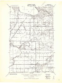
1918 · Rollis
USGS Topo · 1:62,500
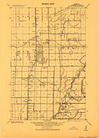
1918 · Middle River
USGS Topo · 1:62,500
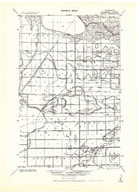
1943 · Rollis
USGS Topo · 1:62,500
1943 · Thief River Falls
USGS Topo · 1:62,500

1952 · Thief River Falls
USGS Topo · 1:250,000

1954 · Roseau
USGS Topo · 1:250,000

1956 · Thief River Falls
USGS Topo · 1:250,000

1957 · Roseau
USGS Topo · 1:250,000

1957 · Thief River Falls
USGS Topo · 1:250,000

1958 · Roseau
USGS Topo · 1:250,000