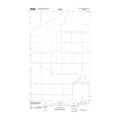
2010 Map of Middle River NE
USGS Topo · Published 2010About this map
Middle River meanders across this rural section of Marshall County, defining a landscape dominated by the precise grid of the Public Land Survey System. The area is characterized by vast agricultural tracts partitioned by a network of gravel and paved roads, including County Hwy 48 and 170th Ave NE. Settlement patterns are reflected in the placement of quiet resting places such as Riverside Cemetery near the riverbank and Evangelical Cemetery further south. These sites, along with the eastern flow of the Thief River, provide the primary landmarks in a region defined by its productive prairie heritage. The reliance on section-line roads like 380th St NE illustrates the enduring layout of Minnesota's northwestern farm country in the early twenty-first century.
Find a feature on this map
20 named features on this map. Tap any name to fly to it.
Don’t see what you’re looking for? This feature index may not catch every label — zoom into the map to look around manually.
Map Details
Editions of this 2010 Middle River NE Map
This is the sole edition of this map. No revisions or reprints were ever made.
Other maps of this area

1918 · Rollis
USGS Topo · 1:62,500

1918 · Garland
USGS Topo · 1:62,500

1918 · Greenbush
USGS Topo · 1:62,500

1918 · Middle River
USGS Topo · 1:62,500

1943 · Rollis
USGS Topo · 1:62,500

1952 · Thief River Falls
USGS Topo · 1:250,000

1954 · Roseau
USGS Topo · 1:250,000

1956 · Thief River Falls
USGS Topo · 1:250,000

1957 · Roseau
USGS Topo · 1:250,000

1957 · Thief River Falls
USGS Topo · 1:250,000