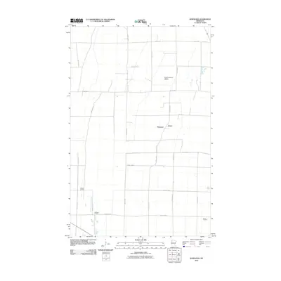
2010 Map of Rosewood
USGS Topo · Published 2010About this map
Rosewood sits at the heart of this rural Marshall County landscape, where a rectilinear grid of section roads defines the agricultural character of northwestern Minnesota. The map documents a scattered network of historical burial grounds that serve as silent witnesses to the area's immigrant heritage, including the Rindal Scandinavian Lutheran Cemetery and Wildwood Cemetery. These sites, along with Hegland Cemetery, Oak Ridge Cemetery, and Norden Cemetery, are vital points of reference for genealogists tracing early families in the region. The infrastructure is dominated by secondary routes such as County Hwy-2 and County Hwy-14, which intersect near the small settlement, facilitating the movement of grain and goods across the flat plains. The layout of roads like Lilac Ridge Rd and 150th Ave NW illustrates the enduring influence of the Public Land Survey System on modern land use and transportation.
Find a feature on this map
25 named features on this map. Tap any name to fly to it.
Don’t see what you’re looking for? This feature index may not catch every label — zoom into the map to look around manually.
Map Details
Editions of this 2010 Rosewood Map
This is the sole edition of this map. No revisions or reprints were ever made.
Other maps of this area

1918 · Viking
USGS Topo · 1:62,500

1918 · Middle River
USGS Topo · 1:62,500

1943 · Thief River Falls
USGS Topo · 1:62,500

1952 · Thief River Falls
USGS Topo · 1:250,000

1956 · Thief River Falls
USGS Topo · 1:250,000

1957 · Thief River Falls
USGS Topo · 1:250,000

1957 · Newfolden
USGS Topo · 1:62,500

1959 · Viking
USGS Topo · 1:24,000

1959 · Rosewood
USGS Topo · 1:24,000
1959 · Viking SW
USGS Topo · 1:24,000