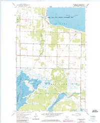
1962 Map of Gatzke NW
USGS Topo · Published 1984About this map
Thief Lake dominates the northern reaches of this Marshall County landscape, where the waters are managed within the Thief Lake State Wildlife Management Area. To the south, the terrain transitions into the complex wetlands of the Agassiz National Wildlife Refuge, a labyrinth of managed waters including the Tamarack Pool and Webster Creek Pool. This 1962 survey, updated with purple revisions in 1984, preserves a record of the Old Indian Treaty Boundary cutting diagonally across the marshy lowlands of Whiteford. Sparse rural development is centered around the Thief River, where Our Savior Ch and scattered town halls serve the farming community. The map provides specific depth soundings for the various pools, documenting the aquatic environment before modern shifts in drainage or management.
Find a feature on this map
18 named features on this map. Tap any name to fly to it.
Don’t see what you’re looking for? This feature index may not catch every label — zoom into the map to look around manually.
Map Details
Editions of this 1962 Gatzke NW Map
2 editions found
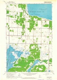
Other maps of this area

1918 · Rollis
USGS Topo · 1:62,500

1918 · Garland
USGS Topo · 1:62,500

1918 · Greenbush
USGS Topo · 1:62,500

1918 · Middle River
USGS Topo · 1:62,500

1943 · Rollis
USGS Topo · 1:62,500

1952 · Thief River Falls
USGS Topo · 1:250,000

1954 · Roseau
USGS Topo · 1:250,000

1956 · Thief River Falls
USGS Topo · 1:250,000

1957 · Roseau
USGS Topo · 1:250,000

1957 · Thief River Falls
USGS Topo · 1:250,000