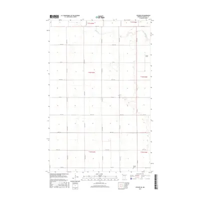
2016 Map of Stephen SW
USGS Topo · Published 2016About this map
Middle River meanders across the northern reaches of this Marshall County landscape, defining the topography of an area primarily organized by a precise grid of agricultural sections and rural roads. The southern portion of the quadrangle is anchored by the Immanuel Lutheran Cem, a significant site for local family history and genealogy. This 2016 survey illustrates a modern rural infrastructure where established thoroughfares like Co Hwy 4 and Co Hwy 19 connect scattered farmsteads. The presence of Johnson Airport in the northeast indicates the continued importance of general aviation in supporting the region's agricultural economy and connectivity.
Find a feature on this map
20 named features on this map. Tap any name to fly to it.
Don’t see what you’re looking for? This feature index may not catch every label — zoom into the map to look around manually.
Map Details
Editions of this 2016 Stephen SW Map
This is the sole edition of this map. No revisions or reprints were ever made.
Other maps of this area

1918 · Acton
USGS Topo · 1:62,500

1918 · Argyle
USGS Topo · 1:62,500

1918 · Warren
USGS Topo · 1:62,500

1952 · Thief River Falls
USGS Topo · 1:250,000

1954 · Stephen
USGS Topo · 1:62,500

1955 · Warren
USGS Topo · 1:62,500

1956 · Thief River Falls
USGS Topo · 1:250,000

1957 · Thief River Falls
USGS Topo · 1:250,000
1966 · Big Woods NE
USGS Topo · 1:24,000
1966 · Oslo NE
USGS Topo · 1:24,000