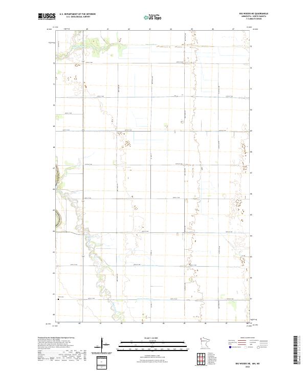
2022 Map of Big Woods NE
USGS Topo · Published 2022About this map
Snake River and Tamarac River define the hydrography of this section of Marshall County, their meandering paths contrasting with the rigid geometry of the surrounding section lines. The landscape is heavily influenced by agricultural drainage, evidenced by the presence of Lateral Number One and Lateral Number Two that cut across the prairie. This 2022 survey documents a sparsely populated rural landscape where human presence is primarily marked by a grid of local roads like 420th St NW and 480th Ave NW. Near the southern edge, the Fork Cem serves as a lone genealogical landmark in an area dominated by large-scale farming and township boundaries including t158n r50w and t157n r49w.
Find a feature on this map
25 named features on this map. Tap any name to fly to it.
Don’t see what you’re looking for? This feature index may not catch every label — zoom into the map to look around manually.
Map Details
Editions of this 2022 Big Woods NE Map
This is the sole edition of this map. No revisions or reprints were ever made.
Other maps of this area

1918 · Acton
USGS Topo · 1:62,500

1918 · Argyle
USGS Topo · 1:62,500

1939 · Drayton
USGS Topo · 1:62,500

1939 · Kennedy
USGS Topo · 1:62,500

1941 · Kennedy
USGS Topo · 1:62,500

1941 · Drayton
USGS Topo · 1:62,500

1952 · Thief River Falls
USGS Topo · 1:250,000

1954 · Stephen
USGS Topo · 1:62,500

1956 · Thief River Falls
USGS Topo · 1:250,000

1957 · Thief River Falls
USGS Topo · 1:250,000