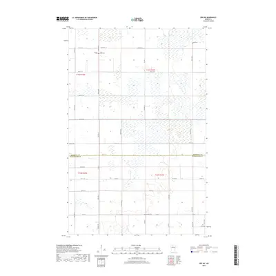
2019 Map of Erie NW
USGS Topo · Published 2019About this map
Low-lying wetlands and a grid of rural section roads define this portion of the northern Minnesota plains, where the border between Marshall Co and Pennington Co runs through a landscape of marshes and small woodlots. The area is marked by several small, historic burial sites that speak to the early settlement of this region, including Espelie Cem, Jerusalem Cem, and Poplar Grove Cem in the north, and Rosendahl Cem further south. The drainage patterns and wetland inventories suggest a territory where agriculture and natural water retention coexist. Significant local thoroughfares like Co Hwy 53, Co Hwy 64, and Co Rd 95 provide the primary infrastructure for the scattered farmsteads and rural properties that punctuate the prairie.
Find a feature on this map
34 named features on this map. Tap any name to fly to it.
Don’t see what you’re looking for? This feature index may not catch every label — zoom into the map to look around manually.
Map Details
Editions of this 2019 Erie NW Map
This is the sole edition of this map. No revisions or reprints were ever made.
Other maps of this area
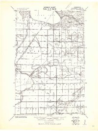
1918 · Rollis
USGS Topo · 1:62,500
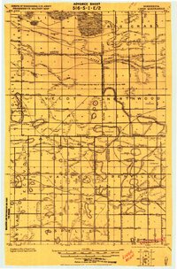
1919 · Liner
USGS Topo · 1:62,500
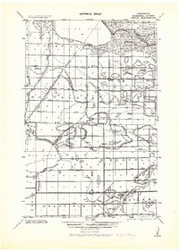
1943 · Rollis
USGS Topo · 1:62,500

1954 · Roseau
USGS Topo · 1:250,000

1957 · Roseau
USGS Topo · 1:250,000

1958 · Roseau
USGS Topo · 1:250,000
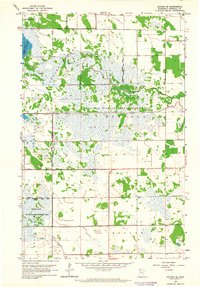
1962 · Gatzke SE
USGS Topo · 1:24,000
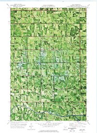
1972 · Erie
USGS Topo · 1:24,000
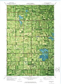
1972 · Goodridge
USGS Topo · 1:24,000
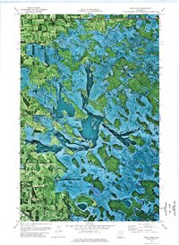
1972 · Good Lake
USGS Topo · 1:24,000