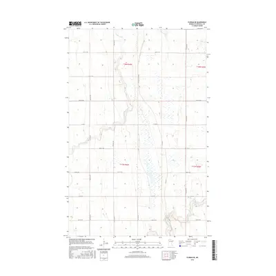
2016 Map of Florian NE
USGS Topo · Published 2016About this map
Tamarac River meanders across the northern reaches of this Marshall County landscape, while the Middle River cuts through the southern sections. This area of northwest Minnesota is defined by its rectilinear grid of section roads and drainage patterns, illustrating the intensive agricultural management of the Red River Valley region. A notable historical trace appears in the form of Pembina Tr Rd NW, a name that recalls the historic oxcart trails that once connected the Red River Colony with southern trading posts. The map details the transition from the river corridors to the surrounding wetlands and fields, with county infrastructure such as Co Hwy 6, Co Rd 114, and Co Hwy 30 providing the primary transit network for the rural farmsteads and townships identified by their survey coordinates, including t157n r46w and t158n r45w.
Find a feature on this map
20 named features on this map. Tap any name to fly to it.
Don’t see what you’re looking for? This feature index may not catch every label — zoom into the map to look around manually.
Map Details
Editions of this 2016 Florian NE Map
This is the sole edition of this map. No revisions or reprints were ever made.
Other maps of this area

1919 · Pelan
USGS Topo · 1:62,500

1952 · Thief River Falls
USGS Topo · 1:250,000

1956 · Thief River Falls
USGS Topo · 1:250,000

1956 · Karlstad
USGS Topo · 1:62,500

1956 · Florian
USGS Topo · 1:62,500

1957 · Thief River Falls
USGS Topo · 1:250,000

1957 · Newfolden
USGS Topo · 1:62,500

1957 · Pelan
USGS Topo · 1:62,500

1967 · Thief River Falls
USGS Topo · 1:250,000
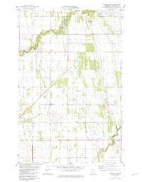
1982 · Florian SE
USGS Topo · 1:24,000