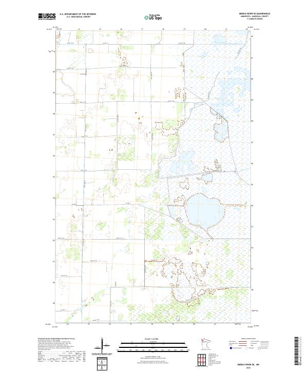
2022 Map of Middle River SE
USGS Topo · Published 2022About this map
The Northwest Pool and the wetlands of the Thief Lake area dominate this rural Marshall County landscape. This environment is characterized by a high water table and numerous marshy pockets, largely managed for conservation. To the south, the Thief River cuts through the township lines of T155N R43W, providing a vital drainage corridor for the surrounding plains. The map illustrates a strictly rectilinear section-line road network, including Co Hwy 7 and 170th Ave Ne, which service the scattered farmsteads and agricultural tracts that edge the wilderness. A single named path, the Rodahl Trl, provides access into the more interior marshlands, likely serving local recreational or maintenance needs. This 2022 survey documents the persistent rural character of northwestern Minnesota, where the boundary between reclaimed farmland and native wetland remains clearly defined.
Find a feature on this map
28 named features on this map. Tap any name to fly to it.
Don’t see what you’re looking for? This feature index may not catch every label — zoom into the map to look around manually.
Map Details
Editions of this 2022 Middle River SE Map
This is the sole edition of this map. No revisions or reprints were ever made.
Other maps of this area

1918 · Rollis
USGS Topo · 1:62,500

1918 · Middle River
USGS Topo · 1:62,500

1943 · Rollis
USGS Topo · 1:62,500

1943 · Thief River Falls
USGS Topo · 1:62,500

1952 · Thief River Falls
USGS Topo · 1:250,000

1954 · Roseau
USGS Topo · 1:250,000

1956 · Thief River Falls
USGS Topo · 1:250,000

1957 · Roseau
USGS Topo · 1:250,000

1957 · Thief River Falls
USGS Topo · 1:250,000

1958 · Roseau
USGS Topo · 1:250,000