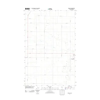
2013 Map of Grygla SW
USGS Topo · Published 2013About this map
Grygla sits at the edge of this Marshall County survey, where the township grid meets the meandering path of the Mud River. The landscape is defined by its agricultural regularity, with a dense network of sectional roads including 340th St NE and 390th Ave NE carving the terrain into uniform blocks. A significant local landmark is the Grygla Municipal Airport-Mel Wilkens Field, positioned just southwest of the town center. Transport in this region relies on the intersection of MN-89 and MN-219, which facilitate movement across the low-lying terrain. The map captures a moment in the early 21st century when the rural character of the area remains firmly rooted in its original land divisions and seasonal watercourses.
Find a feature on this map
19 named features on this map. Tap any name to fly to it.
Don’t see what you’re looking for? This feature index may not catch every label — zoom into the map to look around manually.
Map Details
Editions of this 2013 Grygla SW Map
This is the sole edition of this map. No revisions or reprints were ever made.
Other maps of this area
1918 · Rollis
USGS Topo · 1:62,500
1919 · Liner
USGS Topo · 1:62,500
1943 · Rollis
USGS Topo · 1:62,500
1954 · Roseau
USGS Topo · 1:250,000
1957 · Roseau
USGS Topo · 1:250,000
1958 · Roseau
USGS Topo · 1:250,000
1962 · Gatzke SE
USGS Topo · 1:24,000
1962 · Gatzke
USGS Topo · 1:24,000
1972 · Goodridge
USGS Topo · 1:24,000
1973 · Grygla
USGS Topo · 1:24,000