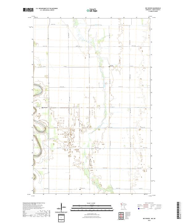
2022 Map of Big Woods
USGS Topo · Published 2022About this map
Big Woods anchors this landscape in Marshall County, situated within a grid of agricultural section lines and rural thoroughfares. The terrain is defined by the winding paths of the Snake River and Middle River, which cut across the prairie landscape. To the west, the Red River of the North Trl follows the meandering course of the state boundary, marking the transition into North Dakota. Local history and genealogy interests are centered on the North Big Woods Cem and the southern Big Woods Cem, both of which serve as enduring landmarks for the area's early families. The road network, including Co Hwy 4 and Co Hwy 19, illustrates the systematic development of this fertile Red River Valley region into the 21st century.
Find a feature on this map
33 named features on this map. Tap any name to fly to it.
Don’t see what you’re looking for? This feature index may not catch every label — zoom into the map to look around manually.
Map Details
Editions of this 2022 Big Woods Map
This is the sole edition of this map. No revisions or reprints were ever made.
Other maps of this area

1918 · Acton
USGS Topo · 1:62,500

1918 · Argyle
USGS Topo · 1:62,500

1918 · Warren
USGS Topo · 1:62,500

1952 · Thief River Falls
USGS Topo · 1:250,000

1954 · Stephen
USGS Topo · 1:62,500

1955 · Warren
USGS Topo · 1:62,500

1956 · Thief River Falls
USGS Topo · 1:250,000

1957 · Thief River Falls
USGS Topo · 1:250,000
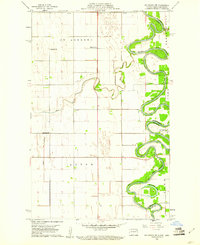
1960 · Big Woods NW
USGS Topo · 1:24,000
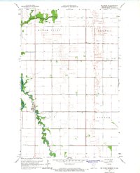
1966 · Big Woods NE
USGS Topo · 1:24,000