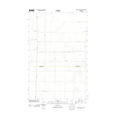
2013 Map of Thief River Falls NE
USGS Topo · Published 2013About this map
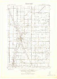
The Marshall Co Pennington Co boundary line bisects this landscape of wetlands and drainage patterns in Northwest Minnesota. Family and community heritage is anchored by a series of burial grounds including Satersdal Cem in the northwest and the clustered Silver Creek Cem and Silverton Cem to the south. The upper reaches of the Thief River clip the northwest corner of the map, while a rigid grid of rural section roads like 170th Ave NE and Co Hwy-2 provides access through the low-lying terrain. These roads and cemeteries reflect the enduring settlement patterns of the Red River Valley region, where scattered farmsteads have long relied on a network of straight-line tracks through the glacial plains.
Find a feature on this map
16 named features on this map. Tap any name to fly to it.
Don’t see what you’re looking for? This feature index may not catch every label — zoom into the map to look around manually.
Map Details
Editions of this 2013 Thief River Falls NE Map
This is the sole edition of this map. No revisions or reprints were ever made.
Other maps of this area
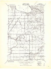
1918 · Rollis
USGS Topo · 1:62,500
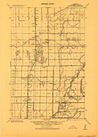
1918 · Middle River
USGS Topo · 1:62,500
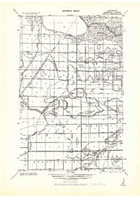
1943 · Rollis
USGS Topo · 1:62,500
1943 · Thief River Falls
USGS Topo · 1:62,500

1952 · Thief River Falls
USGS Topo · 1:250,000

1954 · Roseau
USGS Topo · 1:250,000

1956 · Thief River Falls
USGS Topo · 1:250,000

1957 · Roseau
USGS Topo · 1:250,000

1957 · Thief River Falls
USGS Topo · 1:250,000

1958 · Roseau
USGS Topo · 1:250,000