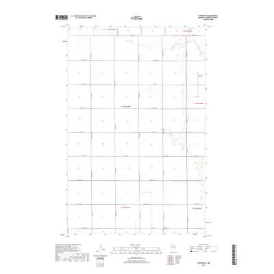
2019 Map of Stephen SW
USGS Topo · Published 2019About this map
Middle River meanders across the northern reaches of this Marshall County landscape, following a sinuous path through the flat, gridded agricultural sections of the Red River Valley. The terrain is defined by the Public Land Survey System, with roads such as 290th St NW and 400th Ave NW tracing section lines across several townships, including t156n r49w. This 2019 survey documents a rural environment where infrastructure is focused on aviation and community history, notably at Johnson Airport in the northeast and the Immanuel Lutheran Cem to the south. The intersection of Co Hwy 20 and Co Hwy 21 serves as a primary local junction, anchoring a network of county roads and section-line streets that connect the isolated farmsteads and agricultural tracts of this northwestern Minnesota region.
Find a feature on this map
28 named features on this map. Tap any name to fly to it.
Don’t see what you’re looking for? This feature index may not catch every label — zoom into the map to look around manually.
Map Details
Editions of this 2019 Stephen SW Map
This is the sole edition of this map. No revisions or reprints were ever made.
Other maps of this area

1918 · Acton
USGS Topo · 1:62,500

1918 · Argyle
USGS Topo · 1:62,500

1918 · Warren
USGS Topo · 1:62,500

1952 · Thief River Falls
USGS Topo · 1:250,000

1954 · Stephen
USGS Topo · 1:62,500

1955 · Warren
USGS Topo · 1:62,500

1956 · Thief River Falls
USGS Topo · 1:250,000

1957 · Thief River Falls
USGS Topo · 1:250,000
1966 · Big Woods NE
USGS Topo · 1:24,000
1966 · Oslo NE
USGS Topo · 1:24,000