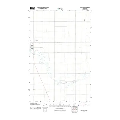
2010 Map of Stephen East
USGS Topo · Published 2010About this map
The Tamarac River meanders through the heart of this Marshall County landscape, defining the character of the prairie outside the community of Stephen. Historically significant rural education sites are scattered across the township lines, including School Number 55W, School Number 46, and Lincoln School, providing specific points of interest for genealogists tracing early twentieth-century local history. The town center is complemented by the Stephen Municipal Airport and Valley Court, while the Saint Stephen Cemetery sits north of the main residential area. This survey reveals a highly organized agricultural grid, typical of the Red River Valley region, where section lines are dictated by long-established county roads such as County Hwy-6 and County Hwy-109.
Find a feature on this map
24 named features on this map. Tap any name to fly to it.
Don’t see what you’re looking for? This feature index may not catch every label — zoom into the map to look around manually.
Map Details
Editions of this 2010 Stephen East Map
This is the sole edition of this map. No revisions or reprints were ever made.
Other maps of this area

1918 · Argyle
USGS Topo · 1:62,500

1939 · Kennedy
USGS Topo · 1:62,500

1941 · Kennedy
USGS Topo · 1:62,500

1952 · Thief River Falls
USGS Topo · 1:250,000

1954 · Stephen
USGS Topo · 1:62,500

1956 · Thief River Falls
USGS Topo · 1:250,000

1956 · Karlstad
USGS Topo · 1:62,500

1956 · Florian
USGS Topo · 1:62,500

1957 · Thief River Falls
USGS Topo · 1:250,000

1967 · Thief River Falls
USGS Topo · 1:250,000