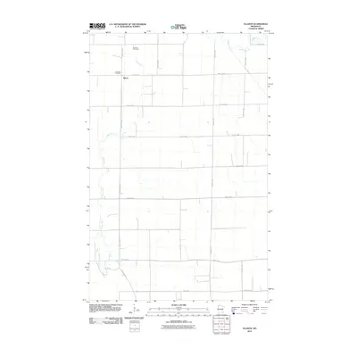
2010 Map of Ellerth
USGS Topo · Published 2010About this map
Ellerth and the surrounding township lands in Marshall County are defined by a precision grid of rural roads and the winding paths of the Snake River and Middle River. This 2010 survey reflects the enduring agricultural character of the region, where the landscape is organized by section lines such as 290th St NW and 200th Ave NW. For genealogists and local historians, the map identifies key community landmarks that anchor the area's heritage, specifically Bethania Cemetery and Bethesda Cemetery. The intersection of County Hwy 28 and 270th St NW serves as a primary transit point in this northern Minnesota prairie landscape. The drainage patterns of the river systems, particularly the meanders of the Snake River, create the only significant variation in a terrain otherwise dominated by straight-line section roads and large-scale farming tracts.
Find a feature on this map
18 named features on this map. Tap any name to fly to it.
Don’t see what you’re looking for? This feature index may not catch every label — zoom into the map to look around manually.
Map Details
Editions of this 2010 Ellerth Map
This is the sole edition of this map. No revisions or reprints were ever made.
Other maps of this area

1918 · Angus
USGS Topo · 1:62,500

1918 · Viking
USGS Topo · 1:62,500

1952 · Thief River Falls
USGS Topo · 1:250,000

1956 · Thief River Falls
USGS Topo · 1:250,000

1956 · Florian
USGS Topo · 1:62,500

1957 · Thief River Falls
USGS Topo · 1:250,000

1957 · Newfolden
USGS Topo · 1:62,500

1959 · Viking
USGS Topo · 1:24,000

1959 · Rosewood
USGS Topo · 1:24,000

1961 · Radium
USGS Topo · 1:24,000