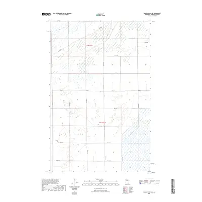
2019 Map of Middle River NE
USGS Topo · Published 2019About this map
The Middle River winds through the agricultural landscape of northern Marshall County, defining a region where the vast, open fields of the Red River Valley transition into organized township grids. This 2019 survey captures the rural layout of t157n r42w and t158n r42w, where a network of county roads like Co Hwy 6 and Co Hwy 12 provides access to scattered homesteads and farming operations. The map highlights two significant landmarks for local genealogists: the Riverside Cem located near the banks of the river, and the German Evangelical Cem situated further south along 360th St Ne. These burial grounds serve as enduring markers of the early European settlement patterns and the religious heritage of the immigrant families who established the farming communities in this corner of Minnesota.
Find a feature on this map
25 named features on this map. Tap any name to fly to it.
Don’t see what you’re looking for? This feature index may not catch every label — zoom into the map to look around manually.
Map Details
Editions of this 2019 Middle River NE Map
This is the sole edition of this map. No revisions or reprints were ever made.
Other maps of this area

1918 · Rollis
USGS Topo · 1:62,500

1918 · Garland
USGS Topo · 1:62,500

1918 · Greenbush
USGS Topo · 1:62,500

1918 · Middle River
USGS Topo · 1:62,500

1943 · Rollis
USGS Topo · 1:62,500

1952 · Thief River Falls
USGS Topo · 1:250,000

1954 · Roseau
USGS Topo · 1:250,000

1956 · Thief River Falls
USGS Topo · 1:250,000

1957 · Roseau
USGS Topo · 1:250,000

1957 · Thief River Falls
USGS Topo · 1:250,000