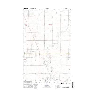
2016 Map of Thief River Falls NW
USGS Topo · Published 2016About this map
The Thief River meanders south through this Red River Valley landscape, meeting the northern outskirts of Thief River Falls near the Marshall Co Pennington Co boundary. The area is defined by a dense grid of rural section roads and drainage features, most notably County Ditch Number Seventy, which reflects the region's managed agricultural hydrology. At the southern edge of the map, the cityscape emerges with the Northland Community and Technical Coll campus and the Saint Bernard Cem, providing a detailed look at the local educational and civic infrastructure. Northwest of the main city center, Dakota Junction sits at a strategic crossing point for local transport. The terrain is relatively level, characterized by expansive wetlands and the winding river channel that historically influenced the development of these prairie settlements.
Find a feature on this map
48 named features on this map. Tap any name to fly to it.
Don’t see what you’re looking for? This feature index may not catch every label — zoom into the map to look around manually.
Map Details
Editions of this 2016 Thief River Falls NW Map
This is the sole edition of this map. No revisions or reprints were ever made.
Other maps of this area

1918 · Viking
USGS Topo · 1:62,500

1918 · Middle River
USGS Topo · 1:62,500

1943 · Thief River Falls
USGS Topo · 1:62,500

1952 · Thief River Falls
USGS Topo · 1:250,000

1956 · Thief River Falls
USGS Topo · 1:250,000

1957 · Thief River Falls
USGS Topo · 1:250,000

1957 · Newfolden
USGS Topo · 1:62,500

1959 · Rosewood
USGS Topo · 1:24,000
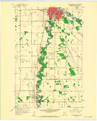
1959 · Thief River Falls
USGS Topo · 1:24,000
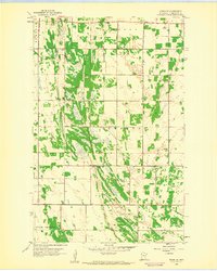
1959 · Viking SE
USGS Topo · 1:24,000