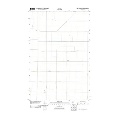
2010 Map of Thief River Falls NE
USGS Topo · Published 2010About this map
The Thief River winds through the northwestern corner of this Pennington County landscape, defining the only major natural break in an otherwise highly organized agricultural grid. This survey captures a rural territory dominated by straight-line section roads and county highways that reflect the systematic settlement patterns of the Red River Valley region. Genealogists and local historians will find significant value in the distribution of burial grounds across the township. Near the river sits the Satersdal Cemetery, while further south, the Silverton Cemetery and Silver Creek Cemetery are located adjacent to one another. The central portion of the map is anchored by the Bethlehem Cemetery along County Hwy-51, illustrating how these small community landmarks serve as the primary identifiers for this quiet stretch of northern Minnesota farmland.
Find a feature on this map
16 named features on this map. Tap any name to fly to it.
Don’t see what you’re looking for? This feature index may not catch every label — zoom into the map to look around manually.
Map Details
Editions of this 2010 Thief River Falls NE Map
This is the sole edition of this map. No revisions or reprints were ever made.
Other maps of this area

1918 · Rollis
USGS Topo · 1:62,500

1918 · Middle River
USGS Topo · 1:62,500

1943 · Rollis
USGS Topo · 1:62,500

1943 · Thief River Falls
USGS Topo · 1:62,500

1952 · Thief River Falls
USGS Topo · 1:250,000

1954 · Roseau
USGS Topo · 1:250,000

1956 · Thief River Falls
USGS Topo · 1:250,000

1957 · Roseau
USGS Topo · 1:250,000

1957 · Thief River Falls
USGS Topo · 1:250,000

1958 · Roseau
USGS Topo · 1:250,000