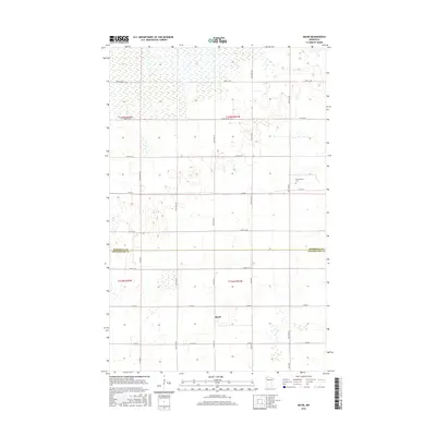
2016 Map of Mavie
USGS Topo · Published 2016About this map
Mavie and Germantown sit at the center of this rural agricultural landscape along the boundary line shared by Marshall Co and Pennington Co. The terrain is defined by a dense network of sectional roads and township lines, including 250th St NE and 260th Ave NE, which organize the farmsteads and fields of the Red River Valley region. A key point for local history is the Germantown Cem, located near the intersection of Co Hwy 129 and Co Rd 2. The map also details a significant concentration of wetlands and marshes in the northern sections, particularly around t155n r41w, providing a clear record of the area's natural drainage before further modern development. This survey serves as a precise record of rural Minnesota life, documenting the quiet crossroads and family-held lands of these two border counties.
Find a feature on this map
27 named features on this map. Tap any name to fly to it.
Don’t see what you’re looking for? This feature index may not catch every label — zoom into the map to look around manually.
Map Details
Editions of this 2016 Mavie Map
This is the sole edition of this map. No revisions or reprints were ever made.
Other maps of this area

1918 · Rollis
USGS Topo · 1:62,500

1918 · Middle River
USGS Topo · 1:62,500

1943 · Rollis
USGS Topo · 1:62,500

1943 · Thief River Falls
USGS Topo · 1:62,500

1952 · Thief River Falls
USGS Topo · 1:250,000

1954 · Roseau
USGS Topo · 1:250,000

1956 · Thief River Falls
USGS Topo · 1:250,000

1957 · Roseau
USGS Topo · 1:250,000

1957 · Thief River Falls
USGS Topo · 1:250,000

1958 · Roseau
USGS Topo · 1:250,000