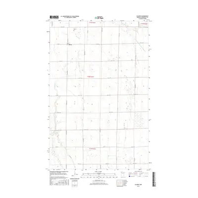
2016 Map of Ellerth
USGS Topo · Published 2016About this map
The settlement of Ellerth sits at the intersection of Co Hwy 4 and 200th Ave NW, anchoring this agricultural landscape in Marshall County. The terrain is defined by a complex network of natural and engineered waterways, including the winding Snake River and the northern reaches of the Middle River. To the east, the Main Judicial Ditch Number Fifteen represents a significant feat of early 20th-century water management designed to facilitate farming in this low-lying region. Local history and genealogy are preserved at the Bethania Cem and Bethesda Cem, situated near the Snake River and the Ellerth townsite. The map illustrates a rigid section-line road system, such as 330th St NW and 180th Ave NW, which organizes the sprawling prairie into a productive grid.
Find a feature on this map
31 named features on this map. Tap any name to fly to it.
Don’t see what you’re looking for? This feature index may not catch every label — zoom into the map to look around manually.
Map Details
Editions of this 2016 Ellerth Map
This is the sole edition of this map. No revisions or reprints were ever made.
Other maps of this area

1918 · Angus
USGS Topo · 1:62,500

1918 · Viking
USGS Topo · 1:62,500

1952 · Thief River Falls
USGS Topo · 1:250,000

1956 · Thief River Falls
USGS Topo · 1:250,000

1956 · Florian
USGS Topo · 1:62,500

1957 · Thief River Falls
USGS Topo · 1:250,000

1957 · Newfolden
USGS Topo · 1:62,500

1959 · Viking
USGS Topo · 1:24,000

1959 · Rosewood
USGS Topo · 1:24,000

1961 · Radium
USGS Topo · 1:24,000