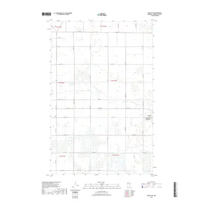
2019 Map of Grygla SW
USGS Topo · Published 2019About this map
Grygla anchors the eastern edge of this landscape, situated at the edge of the extensive wetlands and prairie characteristic of Marshall County. The town's local aviation history is represented by the Grygla Municipal Airport-Mel Wilkens Field, located just southwest of the main settlement. The Mud River winds through the central portion of the map, carving a modest path through a terrain defined by its section-line roads and drainage patterns. This 2019 survey illustrates a late-century agricultural and rural residential layout, where a strict grid of avenues and streets, such as 340th St NE and 350th Ave NE, organizes the township's vast open spaces. The land is heavily partitioned by township and range lines, including t156n r39w and t157n r40w, showing the enduring influence of the Public Land Survey System on the Minnesota prairie.
Find a feature on this map
29 named features on this map. Tap any name to fly to it.
Don’t see what you’re looking for? This feature index may not catch every label — zoom into the map to look around manually.
Map Details
Editions of this 2019 Grygla SW Map
This is the sole edition of this map. No revisions or reprints were ever made.
Other maps of this area
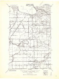
1918 · Rollis
USGS Topo · 1:62,500
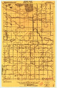
1919 · Liner
USGS Topo · 1:62,500
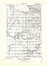
1943 · Rollis
USGS Topo · 1:62,500
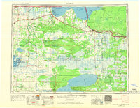
1954 · Roseau
USGS Topo · 1:250,000
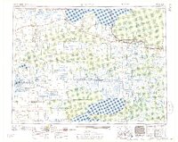
1957 · Roseau
USGS Topo · 1:250,000
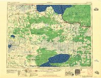
1958 · Roseau
USGS Topo · 1:250,000
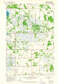
1962 · Gatzke SE
USGS Topo · 1:24,000
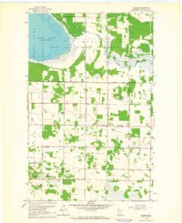
1962 · Gatzke
USGS Topo · 1:24,000
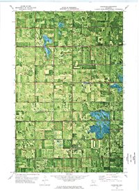
1972 · Goodridge
USGS Topo · 1:24,000
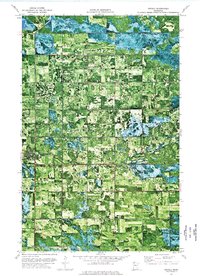
1973 · Grygla
USGS Topo · 1:24,000