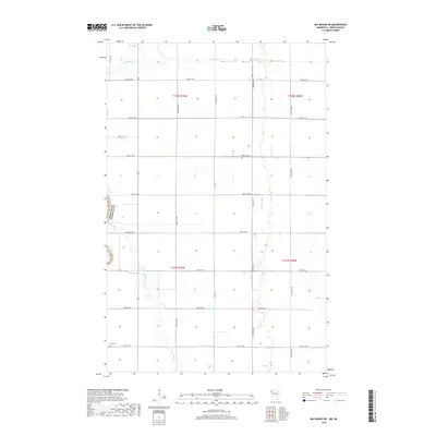
2019 Map of Big Woods NE
USGS Topo · Published 2019About this map
The Snake River winds through the southwestern corner of this agricultural landscape in Walsh County, creating a serpentine contrast to the rigid section lines that define the region. This 2019 survey documents a prairie environment shaped by water management, where drainage features like Lateral Number One and Lateral Number Two intersect the grid of county roads. In the northern reaches, the Tamarac River flows eastward toward the border of Marshall County, Minnesota. For those tracing local heritage, the map identifies the Fork Cem situated along 350th St NW, serving as a permanent landmark in a rural township otherwise characterized by open fields and a network of arterial routes such as Co Hwy 17 and Co Hwy 16.
Find a feature on this map
25 named features on this map. Tap any name to fly to it.
Don’t see what you’re looking for? This feature index may not catch every label — zoom into the map to look around manually.
Map Details
Editions of this 2019 Big Woods NE Map
This is the sole edition of this map. No revisions or reprints were ever made.
Other maps of this area
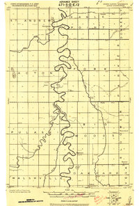
1918 · Acton
USGS Topo · 1:62,500
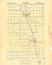
1918 · Argyle
USGS Topo · 1:62,500
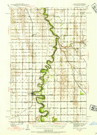
1939 · Drayton
USGS Topo · 1:62,500
1939 · Kennedy
USGS Topo · 1:62,500
1941 · Kennedy
USGS Topo · 1:62,500
1941 · Drayton
USGS Topo · 1:62,500

1952 · Thief River Falls
USGS Topo · 1:250,000
1954 · Stephen
USGS Topo · 1:62,500

1956 · Thief River Falls
USGS Topo · 1:250,000

1957 · Thief River Falls
USGS Topo · 1:250,000