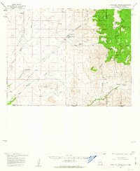
1958 Map of Guadalupe Canyon
USGS Topo · Published 1963About this map
The Peloncillo Mountains dominate this high-desert borderlands region where the boundaries of Arizona, New Mexico, and Sonora meet. The landscape is defined by its working cattle culture and sparse water sources, centered on historical outposts like the Line V7 Ranch and Lazy J Ranch. A small community core is evidenced by the Cottonwood Creek School and the nearby Cottonwood Creek Cemetery, providing vital markers for genealogists tracing ranching families in the mid-20th century.
Find a feature on this map
43 named features on this map. Tap any name to fly to it.
Don’t see what you’re looking for? This feature index may not catch every label — zoom into the map to look around manually.
Map Details
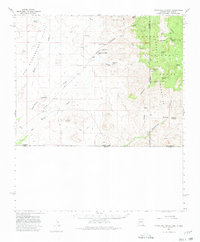
Editions of this 1958 Guadalupe Canyon Map
3 editions found

Other maps of this area

1917 · Chiricahua
USGS Topo · 1:125,000

1918 · Cienega Springs
USGS Topo · 1:62,500

1918 · Animas Peak
USGS Topo · 1:62,500

1919 · Perilla
USGS Topo · 1:125,000

1919 · Chiricahua
USGS Topo · 1:125,000

1920 · Animas Peak
USGS Topo · 1:62,500

1922 · McDonald
USGS Topo · 1:62,500

1926 · Pedregosa
USGS Topo · 1:62,500

1940 · Apache
USGS Topo · 1:62,500

1940 · College Peaks
USGS Topo · 1:62,500