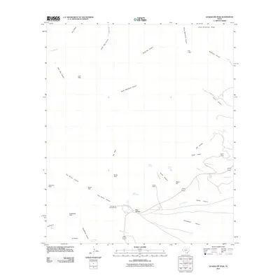
2011 Map of Guadalupe Peak
USGS Topo · Published 2011About this map
Guadalupe Peak and the iconic profile of El Capitan dominate this high-altitude landscape in the Trans-Pecos region of West Texas. This 2011 survey illustrates a terrain defined by deep canyons and prominent ridges, where water sources like Smith Spring, Juniper Spring, and Bone Spring provide critical points of interest in an otherwise arid environment. The map details human activity concentrated along the highway near Pine Springs, including the Pine Spring Campground and the historic Frijole Ranch. Farther north, the rugged isolation of the backcountry is marked by features like Pratt Lodge near North McKittrick Canyon and Ligon Ranch situated along the lower reach of Nickel Creek. This edition captures the established trail and road networks, such as Frijole Ranch Rd and Dog Canyon Rd, that navigate the complex topography between Hunter Peak and the Delaware River.
Find a feature on this map
45 named features on this map. Tap any name to fly to it.
Don’t see what you’re looking for? This feature index may not catch every label — zoom into the map to look around manually.
Map Details
Editions of this 2011 Guadalupe Peak Map
This is the sole edition of this map. No revisions or reprints were ever made.
Other maps of this area
1933 · Guadalupe Peak
USGS Topo · 1:48,000
1935 · El Paso Gap
USGS Topo · 1:62,500
1936 · El Paso Gap
USGS Topo · 1:48,000
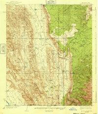
1940 · El Paso Gap
USGS Topo · 1:62,500
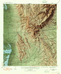
1940 · Guadalupe Peak
USGS Topo · 1:62,500
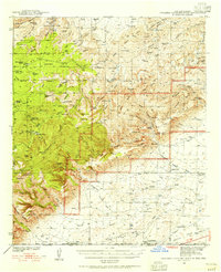
1940 · Carlsbad Caverns West
USGS Topo · 1:62,500
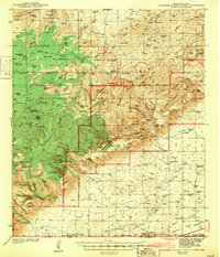
1943 · Carlsbad Caverns West
USGS Topo · 1:62,500

1954 · Carlsbad
USGS Topo · 1:250,000
1954 · Van Horn
USGS Topo · 1:250,000
1958 · Van Horn
USGS Topo · 1:250,000