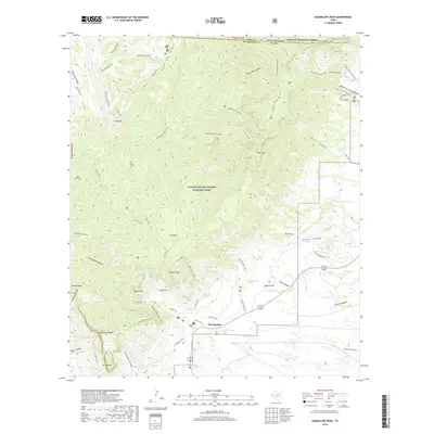
2019 Map of Guadalupe Peak
USGS Topo · Published 2019About this map
Pine Springs sits at the base of the highest elevations in Texas, serving as a gateway to the high desert wilderness. This map reveals a landscape defined by dramatic limestone escarpments and a network of springs essential for life in the arid climate, including Choza Spring and Guadalupe Spring. The topography is dominated by the massive block of the Guadalupe Mountains National Park, where the Tejas Trail and Guadalupe Peak Trail lead to the summit of Guadalupe Peak. The eastern plains are accessed by rural routes such as Frijole Ranch Rd and Ligon Ranch Rd, while the Delaware River begins its course through the canyons. The alignment of trails and springs highlights the historical importance of water sources for travelers navigating the mountain passes near the iconic silhouette of El Capitan.
Find a feature on this map
72 named features on this map. Tap any name to fly to it.
Don’t see what you’re looking for? This feature index may not catch every label — zoom into the map to look around manually.
Map Details
Editions of this 2019 Guadalupe Peak Map
This is the sole edition of this map. No revisions or reprints were ever made.
Other maps of this area
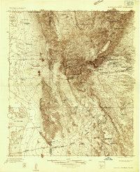
1933 · Guadalupe Peak
USGS Topo · 1:48,000
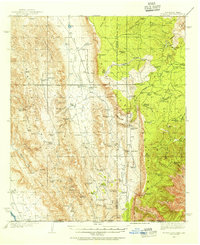
1935 · El Paso Gap
USGS Topo · 1:62,500
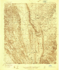
1936 · El Paso Gap
USGS Topo · 1:48,000
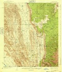
1940 · El Paso Gap
USGS Topo · 1:62,500
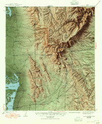
1940 · Guadalupe Peak
USGS Topo · 1:62,500
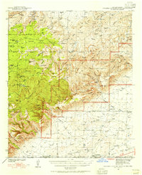
1940 · Carlsbad Caverns West
USGS Topo · 1:62,500
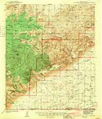
1943 · Carlsbad Caverns West
USGS Topo · 1:62,500
1954 · Carlsbad
USGS Topo · 1:250,000
1954 · Van Horn
USGS Topo · 1:250,000
1958 · Van Horn
USGS Topo · 1:250,000