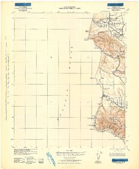
1942 Map of Guadalupe
USGS Topo · Published 1942About this map
The Santa Maria Valley and the coastal foothills of the Santa Ynez Mountains define this wartime coastal survey, where the Southern Pacific railroad hugs the Pacific shoreline. Settlements like Guadalupe and Casmalia anchor the inland agricultural and ranching landscape, while small railway-adjacent locations such as Tangair, Narlon, and Baroda mark the logistical network of the Central Coast in the early 1940s. The map illustrates a transitional period for the Burton Mesa and surrounding plateaus before significant military and industrial expansion changed the local character.
Find a feature on this map
47 named features on this map. Tap any name to fly to it.
Don’t see what you’re looking for? This feature index may not catch every label — zoom into the map to look around manually.
Map Details
Editions of this 1942 Guadalupe Map
This is the sole edition of this map. No revisions or reprints were ever made.
Other maps of this area
1897 · Port Harford
USGS Topo · 1:62,500
1897 · Arroyo Grande
USGS Topo · 1:62,500
1900 · San Luis
USGS Topo · 1:125,000
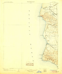
1905 · Guadalupe
USGS Topo · 1:125,000
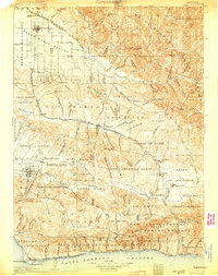
1905 · Lompoc
USGS Topo · 1:125,000
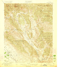
1922 · Nipomo
USGS Topo · 1:62,500
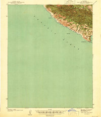
1941 · Port San Luis
USGS Topo · 1:62,500
1942 · Point Arguello
USGS Topo · 1:62,500
1942 · Lompoc
USGS Topo · 1:125,000
1942 · Lompoc
USGS Topo · 1:62,500