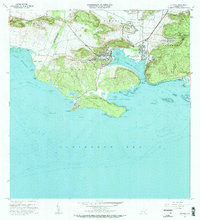
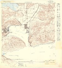
1966 Map of Guanica
USGS Topo · Published 1984About this map
Central Guánica stands as a primary industrial landmark on the northern shore of Bahía de Guánica, anchoring the local economy during this mid-century period. The neighboring settlements of Ensenada and Guánica show a structured development of residential streets and civic facilities, including the Cementerio Municipal and the Parque Atlético. The landscape transitions sharply from the coastal urban centers to the protected wilderness of the Bosque Estatal de Guánica, which covers much of the eastern and southern peninsula. Coastal details are particularly dense, noting landmarks such as the Faro de Guánica and the Balneario de Caña Gorda. Significant topography like Cerro de Abra and the wetlands of Cienaga north of the bay reflect the varied terrain of the southwestern coast of Puerto Rico as it appeared in the 1960s.
Find a feature on this map
74 named features on this map. Tap any name to fly to it.
Don’t see what you’re looking for? This feature index may not catch every label — zoom into the map to look around manually.
Map Details
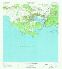
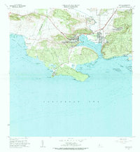
Editions of this 1966 Guanica Map
3 editions found
Other maps of this area

1937 · San German
USGS Topo · 1:25,000

1937 · Sabana Grande
USGS Topo · 1:25,000

1938 · Guanica
USGS Topo · 1:30,000

1938 · Parguera
USGS Topo · 1:30,000

1941 · San German
USGS Topo · 1:30,000

1941 · Sabana Grande
USGS Topo · 1:30,000

1946 · Yauco
USGS Topo · 1:30,000

1946 · Punta Verraco
USGS Topo · 1:30,000
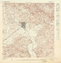
1947 · Yauco SO
USGS Topo · 1:10,000
1949 · Guanica NE
USGS Topo · 1:10,000