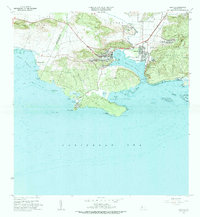
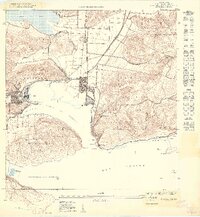
1966 Map of Guanica
USGS Topo · Published 1984About this map
The industrial and maritime character of southwestern Puerto Rico is captured here, centered on the deep-water Bahía de Guánica. The town of Ensenada serves as the focal point for the massive Central Guánica sugar mill complex, showing the intricate layout of the processing facility alongside the Cementerio Municipal and the Club de Golf. This 1960s perspective details the infrastructure of the era, from the Planta de Tratamiento de Aguas Negros to the historic Faro de Guánica guarding the bay's entrance.
Find a feature on this map
63 named features on this map. Tap any name to fly to it.
Don’t see what you’re looking for? This feature index may not catch every label — zoom into the map to look around manually.
Map Details
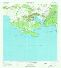
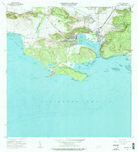
Editions of this 1966 Guanica Map
3 editions found
Other maps of this area

1937 · San German
USGS Topo · 1:25,000

1937 · Sabana Grande
USGS Topo · 1:25,000

1938 · Guanica
USGS Topo · 1:30,000

1938 · Parguera
USGS Topo · 1:30,000

1941 · San German
USGS Topo · 1:30,000

1941 · Sabana Grande
USGS Topo · 1:30,000

1946 · Yauco
USGS Topo · 1:30,000

1946 · Punta Verraco
USGS Topo · 1:30,000
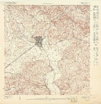
1947 · Yauco SO
USGS Topo · 1:10,000
1949 · Guanica NE
USGS Topo · 1:10,000