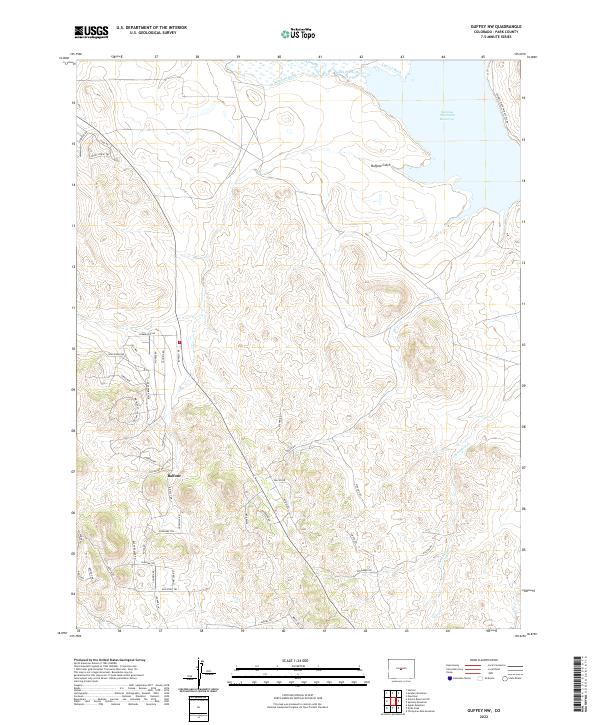
2022 Map of Guffey NW
USGS Topo · Published 2022About this map
The South Platte River and the expansive Spinney Mountain Reservoir dominate the high-altitude topography of this Park County landscape. This 2022 survey captures a complex network of water management features, including the Western Ditch and Central Ditch, which redirect flow across the northern plains. South of these waters, the settlement of Balfour sits amidst a detailed grid of modern residential roads and trails named for indigenous nations and wildlife, such as Cherokee Trl, Gila Way, and Kinglet Dr. This interplay between industrial-scale water infrastructure and high-country residential development is particularly evident where the Buffalo Gulch terrain meets the developed areas. The map provides clear documentation of the land's transition from the reservoir's edge through the seasonal drainages of Threemile Cr into the organized street systems of the southern portion of the quadrangle.
Find a feature on this map
50 named features on this map. Tap any name to fly to it.
Don’t see what you’re looking for? This feature index may not catch every label — zoom into the map to look around manually.
Map Details
Editions of this 2022 Guffey NW Map
This is the sole edition of this map. No revisions or reprints were ever made.
Other maps of this area

1953 · Denver
USGS Topo · 1:250,000

1954 · Pueblo
USGS Topo · 1:250,000

1956 · Sulphur Mountain
USGS Topo · 1:24,000

1956 · Antero Reservoir NE
USGS Topo · 1:24,000

1956 · Hartsel
USGS Topo · 1:24,000

1956 · Guffey NW
USGS Topo · 1:24,000

1956 · Glentivar
USGS Topo · 1:24,000

1956 · Spinney Mountain
USGS Topo · 1:24,000

1957 · Denver
USGS Topo · 1:250,000

1957 · Pueblo
USGS Topo · 1:250,000