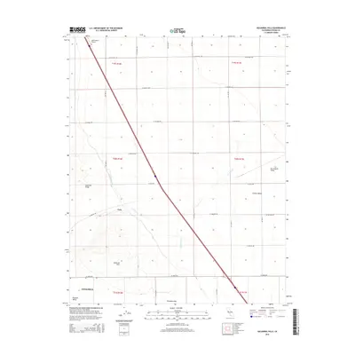
2015 Map of Guijarral Hills
USGS Topo · Published 2015About this map
The western edge of the San Joaquin Valley meets the rising terrain of Anticline Ridge and the Guijarral Hills in this 2015 survey of Fresno County. This area represents a critical corridor for California's water and transportation infrastructure, marked by the prominent path of the Coalinga Canal and several seasonal watercourses including Los Gatos Cr and Zapato Chino Cr. The settlement of Turk sits at a junction of roads and topography, while the northern outskirts of Coalinga reach into Pleasant Valley at the map's southern border. The landscape is defined by the Polvadero Gap and the transition between the flat Central Valley floor and the rolling hills to the west. Essential aviation infrastructure is present at the Harris Ranch Airport, supporting the local agricultural and transit networks that define this section of the valley.
Find a feature on this map
34 named features on this map. Tap any name to fly to it.
Don’t see what you’re looking for? This feature index may not catch every label — zoom into the map to look around manually.
Map Details
Editions of this 2015 Guijarral Hills Map
This is the sole edition of this map. No revisions or reprints were ever made.
Other maps of this area

1912 · Coalinga
USGS Topo · 1:125,000

1928 · Delta Farms No 3
USGS Topo · 1:31,680

1930 · Discovery Well
USGS Topo · 1:31,680

1930 · Canoas Creek
USGS Topo · 1:31,680

1932 · Delta Farms
USGS Topo · 1:31,680

1932 · West of Lethent
USGS Topo · 1:31,680

1933 · Huron
USGS Topo · 1:31,680

1933 · Guijarral Hills
USGS Topo · 1:31,680
1934 · La Cima
USGS Topo · 1:31,680

1934 · Canoas Creek
USGS Topo · 1:31,680