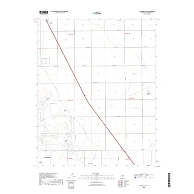
2018 Map of Guijarral Hills
USGS Topo · Published 2018About this map
The Guijarral Hills and Anticline Ridge form the geological backbone of this region in the west-central San Joaquin Valley. To the west, the landscape drops into Pleasant Valley where the northern edge of Coalinga is visible. Water management defines the valley floor, specifically through the engineered path of the Coalinga Canal and the natural, winding course of Los Gatos Cr which cuts through the hills toward the Turk settlement area.
Find a feature on this map
33 named features on this map. Tap any name to fly to it.
Don’t see what you’re looking for? This feature index may not catch every label — zoom into the map to look around manually.
Map Details
Editions of this 2018 Guijarral Hills Map
This is the sole edition of this map. No revisions or reprints were ever made.
Other maps of this area

1912 · Coalinga
USGS Topo · 1:125,000

1928 · Delta Farms No 3
USGS Topo · 1:31,680

1930 · Discovery Well
USGS Topo · 1:31,680

1930 · Canoas Creek
USGS Topo · 1:31,680

1932 · Delta Farms
USGS Topo · 1:31,680

1932 · West of Lethent
USGS Topo · 1:31,680

1933 · Huron
USGS Topo · 1:31,680

1933 · Guijarral Hills
USGS Topo · 1:31,680
1934 · La Cima
USGS Topo · 1:31,680

1934 · Canoas Creek
USGS Topo · 1:31,680