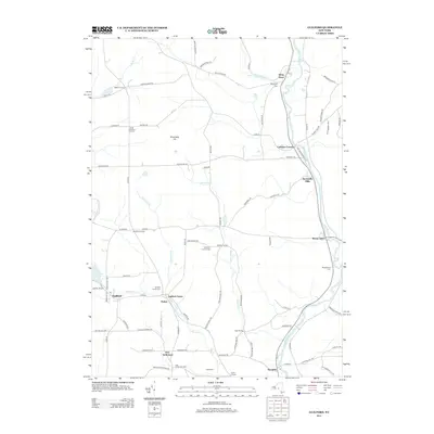
2013 Map of Guilford
USGS Topo · Published 2013About this map
The Unadilla River valley serves as a primary corridor for settlement and industry on this sheet, anchored by the riverside community of Mount Upton and the industrial history of Rockwells Mills. This region of New York is defined by its numerous small hamlets and family-named corners, such as Webb Corners and Godfrey Corners, which indicate a long-standing agricultural and community network. For genealogists, the map is particularly detailed, identifying multiple burial grounds including Guilford Center Cem and the Foote Cem.
Find a feature on this map
88 named features on this map. Tap any name to fly to it.
Don’t see what you’re looking for? This feature index may not catch every label — zoom into the map to look around manually.
Map Details
Editions of this 2013 Guilford Map
This is the sole edition of this map. No revisions or reprints were ever made.
Other maps of this area

1902 · Coventry
USGS Topo · 1:62,500

1903 · Norwich
USGS Topo · 1:62,500

1904 · Oxford
USGS Topo · 1:62,500

1910 · New Berlin
USGS Topo · 1:62,500

1912 · New Berlin
USGS Topo · 1:62,500

1915 · Unadilla
USGS Topo · 1:62,500

1918 · Unadilla
USGS Topo · 1:62,500

1943 · Sidney
USGS Topo · 1:24,000

1943 · New Berlin South
USGS Topo · 1:24,000

1943 · Gilbertsville
USGS Topo · 1:24,000