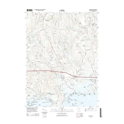
2015 Map of Guilford
USGS Topo · Published 2015About this map
Guilford and the south central Connecticut coastline are characterized by a complex network of glacial ponds, tidal inlets, and offshore island chains. The rocky archipelago of The Thimbles, including Bear Island and Horse Island, dominates the Long Island Sound approach near the stone-quarrying history of Stony Creek. Inland, the landscape rises through ancient settlements like Nut Plains and Podunk, where the East River and West River drain toward the coast.
Find a feature on this map
267 named features on this map. Tap any name to fly to it.
Don’t see what you’re looking for? This feature index may not catch every label — zoom into the map to look around manually.
Map Details
Editions of this 2015 Guilford Map
This is the sole edition of this map. No revisions or reprints were ever made.
Other maps of this area

1892 · New Haven
USGS Topo · 1:62,500

1893 · Guilford
USGS Topo · 1:62,500

1921 · New Haven
USGS Topo · 1:62,500

1943 · Durham
USGS Topo · 1:25,000

1947 · Hartford
USGS Topo · 1:250,000

1948 · Hartford
USGS Topo · 1:250,000

1951 · Clinton
USGS Topo · 1:31,680

1952 · Haddam
USGS Topo · 1:31,680

1953 · Durham
USGS Topo · 1:31,680

1954 · Guilford
USGS Topo · 1:31,680