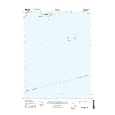
2015 Map of Guilford OE S
USGS Topo · Published 2015About this map
Long Island Sound dominates this coastal and offshore survey, highlighting the intricate maritime geography along the Connecticut and New York state line. The northern edge captures the residential character of Sachem Head and Vineyard Point, where local thoroughfares like Colonial Rd and Falcon Rd meet the rocky shoreline. The map provides significant detail for mariners and coastal historians, identifying specific landmarks such as Uncas Point, Jefferson Rock, and the secluded waters of Bloody Cove.
Find a feature on this map
26 named features on this map. Tap any name to fly to it.
Don’t see what you’re looking for? This feature index may not catch every label — zoom into the map to look around manually.
Map Details
Editions of this 2015 Guilford OE S Map
This is the sole edition of this map. No revisions or reprints were ever made.
Other maps of this area

1892 · New Haven
USGS Topo · 1:62,500

1893 · Guilford
USGS Topo · 1:62,500

1921 · New Haven
USGS Topo · 1:62,500

1947 · Mattituck Hills
USGS Topo · 1:24,000

1947 · Hartford
USGS Topo · 1:250,000

1948 · Hartford
USGS Topo · 1:250,000

1951 · Clinton
USGS Topo · 1:31,680

1954 · Guilford
USGS Topo · 1:31,680
1954 · Branford
USGS Topo · 1:31,680
1956 · Mattituck Hills
USGS Topo · 1:24,000