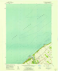
1956 Map of Mattituck Hills
USGS Topo · Published 1958About this map
Mattituck Hills and the Oregon Hills form a distinctive coastal ridge along this stretch of the North Fork in the mid-1950s. The landscape is defined by the narrow passage of Mattituck Inlet, where a Jetty and the Mattituck Light mark the entrance to the protected waters of Mattituck Creek. The settlement patterns of Shore Acres and Waterville show a community tied to the shoreline, with industry appearing near the water as evidenced by Asphalt and Oil facilities. Inland, the map reveals a network of roads named for local families and landmarks, such as Reeve Road, Elijahs Lane, and Alvahs Road. This survey captures the area before extensive modern development, showing the proximity of agricultural or open land indicated by the vast Southold township interior and smaller water bodies like Wolf Pit Lake and Duck Pond.
Find a feature on this map
26 named features on this map. Tap any name to fly to it.
Don’t see what you’re looking for? This feature index may not catch every label — zoom into the map to look around manually.
Map Details
Editions of this 1956 Mattituck Hills Map
2 editions found
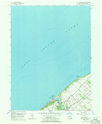
Other maps of this area

1903 · Sag Harbor
USGS Topo · 1:62,500

1903 · Riverhead
USGS Topo · 1:62,500

1904 · Sag Harbor
USGS Topo · 1:62,500

1904 · Shelter Island
USGS Topo · 1:62,500

1904 · Riverhead
USGS Topo · 1:62,500

1943 · Riverhead
USGS Topo · 1:62,500

1947 · Mattituck
USGS Topo · 1:24,000

1947 · Mattituck Hills
USGS Topo · 1:24,000

1947 · Southold
USGS Topo · 1:24,000

1947 · Southampton
USGS Topo · 1:24,000