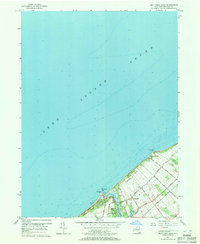
1956 Map of Mattituck Hills
USGS Topo · Published 1971About this map
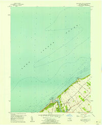
The northern shoreline of the Southold township is defined by the elevation of the Mattituck Hills and Oregon Hills, which rise sharply above the Long Island Sound. This 1950s survey documents a coastal landscape transitioning from its maritime and agricultural roots toward mid-century development. The Mattituck Inlet serves as a critical break in the shoreline, protected by a jetty and marked by the Mattituck Light. Inland, the settlement of Waterville is surrounded by a network of established lanes such as Elijahs Lane and Depot Lane, pointing to the area's logistical connections. Small-scale industrial sites, including an asphalt plant and oil storage near Nagles, sit alongside natural features like Wolf Pit Lake, illustrating the varied land use of the North Fork during this era.
Find a feature on this map
28 named features on this map. Tap any name to fly to it.
Don’t see what you’re looking for? This feature index may not catch every label — zoom into the map to look around manually.
Map Details
Editions of this 1956 Mattituck Hills Map
2 editions found
Other maps of this area

1903 · Sag Harbor
USGS Topo · 1:62,500

1903 · Riverhead
USGS Topo · 1:62,500

1904 · Sag Harbor
USGS Topo · 1:62,500

1904 · Shelter Island
USGS Topo · 1:62,500

1904 · Riverhead
USGS Topo · 1:62,500

1943 · Riverhead
USGS Topo · 1:62,500

1947 · Mattituck
USGS Topo · 1:24,000

1947 · Mattituck Hills
USGS Topo · 1:24,000

1947 · Southold
USGS Topo · 1:24,000

1947 · Southampton
USGS Topo · 1:24,000