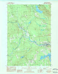
1984 Map of Guilford
USGS Topo · Published 1984About this map
The Piscataquis River and the Canadian Pacific railroad corridor dictate the settlement patterns of this Piscataquis County landscape in the early 1980s. The town of Guilford serves as a primary hub, situated where the river bends south of Guilford Mtn. Upstream, the twin settlements of Abbot Village and Upper Abbot sit at the confluence of the river and Kingsbury Stream, showcasing a traditional Maine river-valley layout.
Find a feature on this map
59 named features on this map. Tap any name to fly to it.
Don’t see what you’re looking for? This feature index may not catch every label — zoom into the map to look around manually.
Map Details
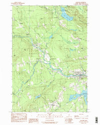
Editions of this 1984 Guilford Map
2 editions found
Other maps of this area

1933 · Guilford
USGS Topo · 1:62,500

1937 · Guilford
USGS Topo · 1:62,500

1948 · Kingsbury
USGS Topo · 1:62,500

1950 · Kingsbury
USGS Topo · 1:62,500

1950 · Sebec Lake
USGS Topo · 1:62,500

1951 · Greenville
USGS Topo · 1:62,500

1954 · Millinocket
USGS Topo · 1:250,000

1958 · Millinocket
USGS Topo · 1:250,000

1960 · Millinocket
USGS Topo · 1:250,000

1975 · Kingsbury NE
USGS Topo · 1:24,000