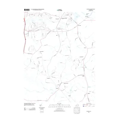
2013 Map of Guinea
USGS Topo · Published 2013About this map
Jackson Shrine stands as a significant landmark in this landscape, situated near the small community of Guinea. The geography is defined by a dense network of watercourses, including the Ni River, Po River, and Poni River, which converge in the southern portion of the sheet. This area reflects a long-standing settlement pattern where small junctions and stores served as local hubs, as seen at Carters Store, Flippos Corner, and Locks Corner. To the north, the Rappahannock River forms the natural boundary near Belvedere. The mapping detail captures the transition from established rural roads like the Fredericksburg Tpke to modern residential developments and infrastructure near Hamilton Crossing and Massaponax. Local industry and history are further evidenced by the Dalton Millpond and several family-named landmarks like Daltons.
Find a feature on this map
110 named features on this map. Tap any name to fly to it.
Don’t see what you’re looking for? This feature index may not catch every label — zoom into the map to look around manually.
Map Details
Editions of this 2013 Guinea Map
This is the sole edition of this map. No revisions or reprints were ever made.
Other maps of this area

1887 · Spottsylvania
USGS Topo · 1:125,000

1889 · Fredericksburg
USGS Topo · 1:125,000

1892 · Fredericksburg
USGS Topo · 1:125,000

1892 · Spottsylvania
USGS Topo · 1:125,000

1894 · Fredericksburg
USGS Topo · 1:125,000

1926 · Stafford
USGS Topo · 1:62,500

1931 · Stafford
USGS Topo · 1:62,500

1942 · Bowling Green
USGS Topo · 1:31,680

1942 · Woodford
USGS Topo · 1:31,680

1942 · Guinea
USGS Topo · 1:31,680