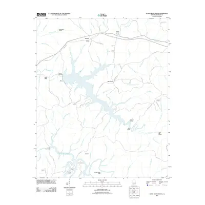
2011 Map of Guinn Cross Roads
USGS Topo · Published 2011About this map
Little Bear Creek and the resulting Bear Creek Reservoir dominate this part of Franklin County, defining a landscape shaped by water management and mid-century engineering. The shoreline is punctuated by several local landmarks, including the Little Bear Creek Dam and the Bear Creek Dam, which altered the flow of the many branches and creeks that feed into the basin. These waters now wind through deep hollows like Hickory Mill Hollow and Williams Hollow.
Find a feature on this map
100 named features on this map. Tap any name to fly to it.
Don’t see what you’re looking for? This feature index may not catch every label — zoom into the map to look around manually.
Map Details
Editions of this 2011 Guinn Cross Roads Map
This is the sole edition of this map. No revisions or reprints were ever made.
Other maps of this area

1925 · Barton
USGS Topo · 1:62,500

1926 · Barton
USGS Topo · 1:48,000

1929 · Barton
USGS Topo · 1:62,500

1935 · Pleasant Site
USGS Topo · 1:24,000

1936 · Frankfort
USGS Topo · 1:24,000

1936 · Pleasant Grove
USGS Topo · 1:24,000

1936 · Hodges
USGS Topo · 1:24,000

1936 · Isbell
USGS Topo · 1:24,000

1936 · Hackleburg
USGS Topo · 1:24,000

1936 · Vina
USGS Topo · 1:24,000