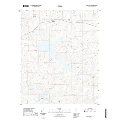
2020 Map of Guinn Cross Roads
USGS Topo · Published 2020About this map
Bear Creek Reservoir and its winding shoreline dominate this corner of Franklin County, where the Tennessee River Valley's rugged feeder streams have carved a complex landscape of hollows and ridges. The map documents long-established rural communities such as Dempsey and Old Nauvoo, centered around a network of early transport routes like Cotton Gin Rd and State Rte 227. For genealogists, the landscape is punctuated by numerous family and community burial grounds, including Friendship Cem, Macedonia Cem, and Sparks Cem, many of which sit on high ground overlooking the reservoir. Evidence of early industry remains in place names like Head Mill Hollow and Hickory Mill Hollow, while the Horseshoe Bend Bridge provides a vital crossing over the southern reaches of Bear Creek.
Find a feature on this map
111 named features on this map. Tap any name to fly to it.
Don’t see what you’re looking for? This feature index may not catch every label — zoom into the map to look around manually.
Map Details
Editions of this 2020 Guinn Cross Roads Map
This is the sole edition of this map. No revisions or reprints were ever made.
Other maps of this area

1925 · Barton
USGS Topo · 1:62,500

1926 · Barton
USGS Topo · 1:48,000

1929 · Barton
USGS Topo · 1:62,500

1935 · Pleasant Site
USGS Topo · 1:24,000

1936 · Frankfort
USGS Topo · 1:24,000

1936 · Pleasant Grove
USGS Topo · 1:24,000

1936 · Hodges
USGS Topo · 1:24,000

1936 · Isbell
USGS Topo · 1:24,000

1936 · Hackleburg
USGS Topo · 1:24,000

1936 · Vina
USGS Topo · 1:24,000