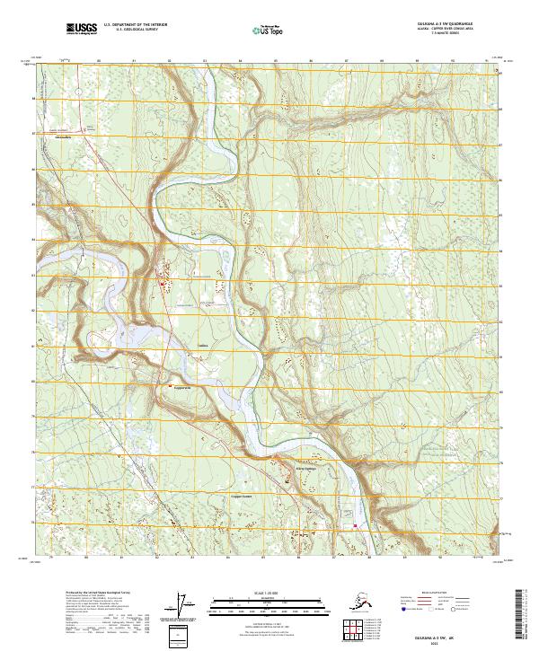
2023 Map of Gulkana A-3 SW
USGS Topo · Published 2023About this map
Copper River and Tazlina River converge in this interior Alaskan landscape, shaping the development of local transport and settlement. The infrastructure is dominated by the Alaska Pipeline, which winds through the western terrain, crossing the Glenn Highway at two points. The confluence of these highways—the Glenn and the Richardson Highway—supports a cluster of communities including Glennallen, Tazlina, and Copperville. Local landmarks like the Ahtna Building and the residential layout along Rose's Avenue and Tazlina Terrace indicate the modern footprint of these crossroads towns. To the southeast, the terrain reaches the edge of the Wrangell-Saint Elias National Preserve, while historical road remnants like Old Rich @ Copper Center suggest the evolution of the region's thoroughfares near Silver Springs.
Find a feature on this map
31 named features on this map. Tap any name to fly to it.
Don’t see what you’re looking for? This feature index may not catch every label — zoom into the map to look around manually.
Map Details
Editions of this 2023 Gulkana A-3 SW Map
This is the sole edition of this map. No revisions or reprints were ever made.
Other maps of this area

1948 · Valdez D-5
USGS Topo · 1:63,360

1949 · Gulkana A-3
USGS Topo · 1:63,360

1949 · Valdez D-4
USGS Topo · 1:63,360

1951 · Valdez D-5
USGS Topo · 1:63,360

1951 · Gulkana
USGS Topo · 1:250,000

1951 · Gulkana A-4
USGS Topo · 1:63,360

1952 · Gulkana A-3
USGS Topo · 1:63,360

1952 · Valdez
USGS Topo · 1:250,000

1952 · Valdez D-4
USGS Topo · 1:63,360

1952 · Gulkana A-4
USGS Topo · 1:63,360