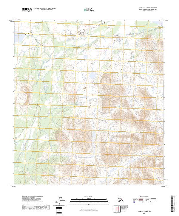
2023 Map of Gulkana D-1 NW
USGS Topo · Published 2023About this map
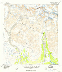
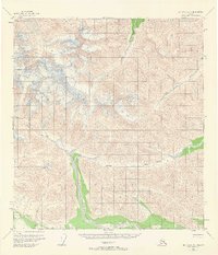
Mankomen Lake sits at the northern edge of this high-altitude landscape in the Copper River Census Area, serving as a primary landmark for bush pilots and remote travelers. The Mankomen Lake Airport provides the sole established point of access in this roadless expanse, where the topography is defined by the drainage basins of the East Fork Chistochina River and Indian Creek.
Find a feature on this map
9 named features on this map. Tap any name to fly to it.
Don’t see what you’re looking for? This feature index may not catch every label — zoom into the map to look around manually.
Map Details
Editions of this 2023 Gulkana D-1 NW Map
This is the sole edition of this map. No revisions or reprints were ever made.
Other maps of this area

1949 · Mt. Hayes A-1
USGS Topo · 1:63,360

1950 · Mount Hayes
USGS Topo · 1:250,000

1951 · Gulkana
USGS Topo · 1:250,000

1951 · Mount Hayes
USGS Topo · 1:250,000
1954 · Gulkana D-2
USGS Topo · 1:63,360
1954 · Mount Hayes A-1
USGS Topo · 1:63,360
1954 · Gulkana D-1
USGS Topo · 1:63,360
1955 · Mount Hayes A-2
USGS Topo · 1:63,360
1955 · Mt. Hayes A-1
USGS Topo · 1:63,360

1955 · Mount Hayes
USGS Topo · 1:250,000