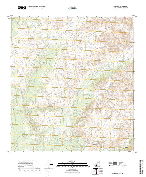
2023 Map of Gulkana D-1 SW
USGS Topo · Published 2023About this map
Chistochina sits at the southern edge of this landscape where the high alpine terrain begins to level out. The geography is defined by the extensive drainage systems of Indian Creek and its major tributary, the East Fork Indian Creek, which carve through the high elevations of the Copper River Census Area. This 2023 survey illustrates the remote character of the region, where transportation is limited to specialized routes like the Indian Creek Trl. The map provides a contemporary view of the Public Land Survey System divisions, including sections of t12n r6e and t13n r5e, reflecting the structured management of this wilderness area.
Find a feature on this map
11 named features on this map. Tap any name to fly to it.
Don’t see what you’re looking for? This feature index may not catch every label — zoom into the map to look around manually.
Map Details
Editions of this 2023 Gulkana D-1 SW Map
This is the sole edition of this map. No revisions or reprints were ever made.
Other maps of this area

1949 · Gulkana C-2
USGS Topo · 1:63,360

1949 · Gulkana C-1
USGS Topo · 1:63,360

1951 · Gulkana
USGS Topo · 1:250,000

1952 · Gulkana C-2
USGS Topo · 1:63,360

1952 · Gulkana C-1
USGS Topo · 1:63,360
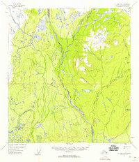
1954 · Gulkana D-2
USGS Topo · 1:63,360
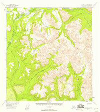
1954 · Gulkana D-1
USGS Topo · 1:63,360

1959 · Gulkana
USGS Topo · 1:250,000

1965 · Gulkana
USGS Topo · 1:250,000
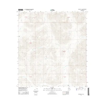
2016 · Gulkana D-1 SE
USGS Topo · 1:25,000